Distance to Hwy Mill, New Mexico

Calculating Your Route
Just a moment while we process your request...
Location Information
-
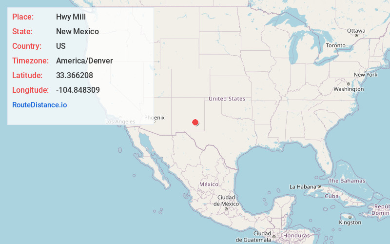
Full AddressHwy Mill, NM 88203
-
Coordinates33.366208, -104.8483085
-
LocationNew Mexico , US
-
TimezoneAmerica/Denver
-
Current Local Time2:25:41 PM America/DenverThursday, June 26, 2025
-
Page Views0
Nearby Places
Found 10 places within 50 miles

Diamante Mill
2.7 mi
4.3 km
Diamante Mill, NM 88203
Get directions
River Mill
7.4 mi
11.9 km
River Mill, NM 88203
Get directions
Center Mill
7.6 mi
12.2 km
Center Mill, NM 88203
Get directions

Picacho
17.2 mi
27.7 km
Picacho, NM 88343
Get directions

Roswell
18.9 mi
30.4 km
Roswell, NM
Get directions
Fairbanks
21.0 mi
33.8 km
Fairbanks, NM 88203
Get directions
South Spring Acres
21.0 mi
33.8 km
South Spring Acres, NM 88203
Get directions
South Spring
21.8 mi
35.1 km
South Spring, NM 88203
Get directions

Tinnie
21.8 mi
35.1 km
Tinnie, NM 88343
Get directions
East Grand Plains
23.8 mi
38.3 km
East Grand Plains, NM 88203
Get directions
Location Links
Local Weather
Weather Information
Coming soon!
Location Map
Static map view of Hwy Mill, New Mexico
Browse Places by Distance
Places within specific distances from Hwy Mill
Short Distances
Long Distances
Click any distance to see all places within that range from Hwy Mill. Distances shown in miles (1 mile ≈ 1.61 kilometers).