Distance to Hybart, Alabama

Calculating Your Route
Just a moment while we process your request...
Location Information
-
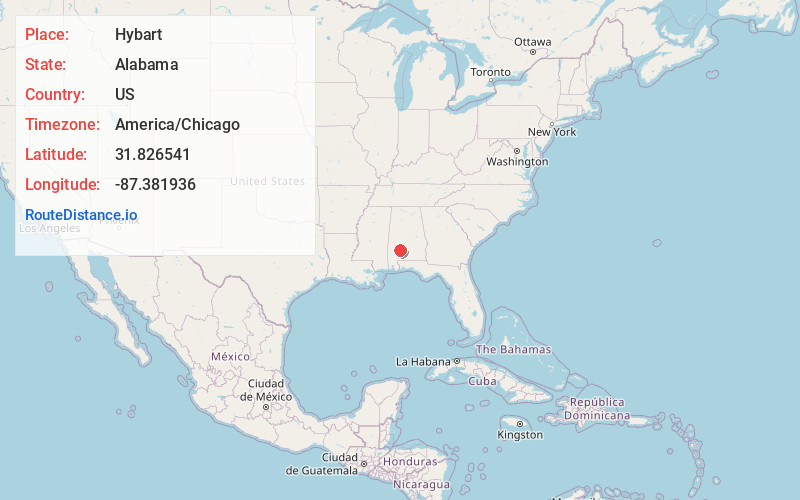
Full AddressHybart, AL 36481
-
Coordinates31.8265412, -87.3819355
-
LocationHybart , Alabama , US
-
TimezoneAmerica/Chicago
-
Current Local Time3:38:24 AM America/ChicagoFriday, June 6, 2025
-
Page Views0
About Hybart
Hybart is an unincorporated community in Monroe County, in the U.S. state of Alabama. Hybart is located at 31°49′36″N 87°22′56″W. It is located at the intersection of Alabama State Route 41 and Monroe County Road 56, in the ...
Nearby Places
Found 10 places within 50 miles

Bellview
1.9 mi
3.1 km
Bellview, AL 36726
Get directions
Vredenburgh
3.5 mi
5.6 km
Vredenburgh, AL
Get directions
Coy
6.7 mi
10.8 km
Coy, AL 36435
Get directions

Buena Vista
8.2 mi
13.2 km
Buena Vista, AL 36425
Get directions
Sheppard
8.2 mi
13.2 km
Sheppard, AL 36435
Get directions
Chestnut
8.9 mi
14.3 km
Chestnut, AL 36425
Get directions
Natchez
9.9 mi
15.9 km
Natchez, AL 36425
Get directions
Yellow Bluff
11.1 mi
17.9 km
Yellow Bluff, AL 36769
Get directions
Rockwest
12.0 mi
19.3 km
Rockwest, AL 36726
Get directions
Culpeper
12.2 mi
19.6 km
Culpeper, AL 36751
Get directions
Location Links
Local Weather
Weather Information
Coming soon!
Location Map
Static map view of Hybart, Alabama
Browse Places by Distance
Places within specific distances from Hybart
Short Distances
Long Distances
Click any distance to see all places within that range from Hybart. Distances shown in miles (1 mile ≈ 1.61 kilometers).