Distance to Sheppard, Alabama

Calculating Your Route
Just a moment while we process your request...
Location Information
-
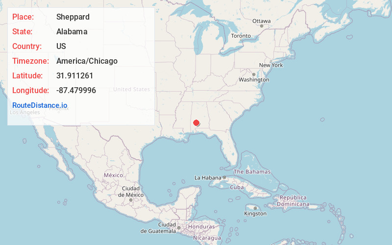
Full AddressSheppard, AL 36435
-
Coordinates31.9112614, -87.4799955
-
LocationSheppard , Alabama , US
-
TimezoneAmerica/Chicago
-
Current Local Time10:09:35 PM America/ChicagoWednesday, May 28, 2025
-
Page Views0
Nearby Places
Found 10 places within 50 miles

Yellow Bluff
3.6 mi
5.8 km
Yellow Bluff, AL 36769
Get directions

Pine Hill
7.9 mi
12.7 km
Pine Hill, AL
Get directions
Sunny South
10.1 mi
16.3 km
Sunny South, AL 36769
Get directions
Vredenburgh
10.9 mi
17.5 km
Vredenburgh, AL
Get directions
Anne Manie
11.1 mi
17.9 km
Anne Manie, AL 36722
Get directions

Camden
12.4 mi
20.0 km
Camden, AL 36726
Get directions

Thomasville
15.0 mi
24.1 km
Thomasville, AL
Get directions

Boykin
16.4 mi
26.4 km
Boykin, AL
Get directions
Fulton
16.8 mi
27.0 km
Fulton, AL
Get directions
Shawnee
17.0 mi
27.4 km
Shawnee, AL 36726
Get directions
Location Links
Local Weather
Weather Information
Coming soon!
Location Map
Static map view of Sheppard, Alabama
Browse Places by Distance
Places within specific distances from Sheppard
Short Distances
Long Distances
Click any distance to see all places within that range from Sheppard. Distances shown in miles (1 mile ≈ 1.61 kilometers).