Distance to Hydeville, Connecticut

Calculating Your Route
Just a moment while we process your request...
Location Information
-
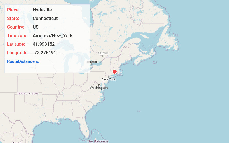
Full AddressHydeville, Stafford, CT 06076
-
Coordinates41.9931516, -72.2761905
-
LocationStafford , Connecticut , US
-
TimezoneAmerica/New_York
-
Current Local Time1:29:48 PM America/New_YorkThursday, May 29, 2025
-
Page Views0
About Hydeville
Hydeville is a rural section of the town of Stafford, Connecticut, United States, located on Furnace Creek. Historically, it was also known as Haydenville.
Nearby Places
Found 10 places within 50 miles

Stafford
2.1 mi
3.4 km
Stafford, CT
Get directions

Orcutts
2.6 mi
4.2 km
Orcutts, Stafford, CT 06076
Get directions
Lake View Terrace
5.6 mi
9.0 km
Lake View Terrace, Stafford, CT 06076
Get directions
Wales
6.0 mi
9.7 km
Wales, MA
Get directions

Holland
7.6 mi
12.2 km
Holland, MA 01521
Get directions

Willington
7.8 mi
12.6 km
Willington, CT
Get directions

Monson
8.0 mi
12.9 km
Monson, MA
Get directions
Willington Hill
8.2 mi
13.2 km
Willington Hill, Willington, CT 06279
Get directions

Hampden
8.6 mi
13.8 km
Hampden, MA 01036
Get directions
Dingley Dell
8.7 mi
14.0 km
Dingley Dell, Brimfield, MA 01010
Get directions
Location Links
Local Weather
Weather Information
Coming soon!
Location Map
Static map view of Hydeville, Connecticut
Browse Places by Distance
Places within specific distances from Hydeville
Short Distances
Long Distances
Click any distance to see all places within that range from Hydeville. Distances shown in miles (1 mile ≈ 1.61 kilometers).