Distance to Wales, Massachusetts

Calculating Your Route
Just a moment while we process your request...
Location Information
-
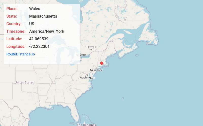
Full AddressWales, MA
-
Coordinates42.0695393, -72.2223007
-
LocationWales , Massachusetts , US
-
TimezoneAmerica/New_York
-
Current Local Time3:44:03 PM America/New_YorkSunday, June 15, 2025
-
Page Views0
About Wales
Wales is a town in Hampden County, Massachusetts, United States. The population was 1,838 at the 2020 census. It is part of the Springfield, Massachusetts Metropolitan Statistical Area.
Nearby Places
Found 10 places within 50 miles

Holland
3.0 mi
4.8 km
Holland, MA 01521
Get directions

Brimfield
3.8 mi
6.1 km
Brimfield, MA
Get directions

Monson
5.5 mi
8.9 km
Monson, MA
Get directions

Stafford
7.6 mi
12.2 km
Stafford, CT
Get directions

Sturbridge
7.7 mi
12.4 km
Sturbridge, MA
Get directions

Palmer
8.3 mi
13.4 km
Palmer, MA
Get directions

Southbridge
9.7 mi
15.6 km
Southbridge, MA
Get directions

Hampden
9.8 mi
15.8 km
Hampden, MA 01036
Get directions

Warren
10.0 mi
16.1 km
Warren, MA
Get directions

Wilbraham
11.3 mi
18.2 km
Wilbraham, MA 01095
Get directions
Location Links
Local Weather
Weather Information
Coming soon!
Location Map
Static map view of Wales, Massachusetts
Browse Places by Distance
Places within specific distances from Wales
Short Distances
Long Distances
Click any distance to see all places within that range from Wales. Distances shown in miles (1 mile ≈ 1.61 kilometers).