Distance to Palmer, Massachusetts

Calculating Your Route
Just a moment while we process your request...
Location Information
-
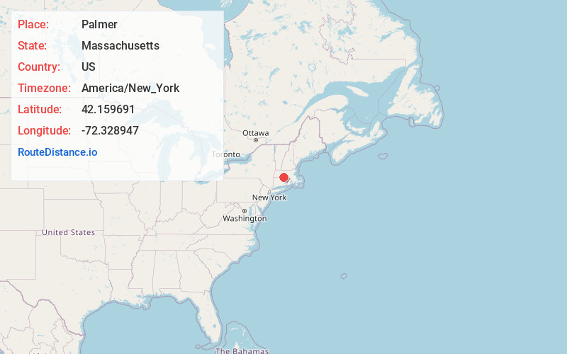
Full AddressPalmer, MA
-
Coordinates42.1596906, -72.3289472
-
LocationPalmer , Massachusetts , US
-
TimezoneAmerica/New_York
-
Current Local Time1:20:24 AM America/New_YorkSunday, June 29, 2025
-
Page Views0
About Palmer
Palmer is a city in Hampden County, Massachusetts, United States. The population was 12,448 at the 2020 census. It is part of the Springfield, Massachusetts Metropolitan Statistical Area. Palmer adopted a home rule charter in 2004 with a council-manager form of government.


Nearby Places
Found 10 places within 50 miles

Wilbraham
5.9 mi
9.5 km
Wilbraham, MA 01095
Get directions

Ludlow
7.5 mi
12.1 km
Ludlow, MA
Get directions

Belchertown
9.1 mi
14.6 km
Belchertown, MA 01007
Get directions

East Longmeadow
11.5 mi
18.5 km
East Longmeadow, MA 01028
Get directions

Springfield
13.9 mi
22.4 km
Springfield, MA
Get directions

Chicopee
14.3 mi
23.0 km
Chicopee, MA
Get directions

South Hadley
14.3 mi
23.0 km
South Hadley, MA 01075
Get directions

Longmeadow
15.1 mi
24.3 km
Longmeadow, MA
Get directions

West Springfield
15.4 mi
24.8 km
West Springfield, MA
Get directions

Agawam
15.9 mi
25.6 km
Agawam, MA
Get directions
Location Links
Local Weather
Weather Information
Coming soon!
Location Map
Static map view of Palmer, Massachusetts
Browse Places by Distance
Places within specific distances from Palmer
Short Distances
Long Distances
Click any distance to see all places within that range from Palmer. Distances shown in miles (1 mile ≈ 1.61 kilometers).