Distance to Illahe, Oregon

Calculating Your Route
Just a moment while we process your request...
Location Information
-
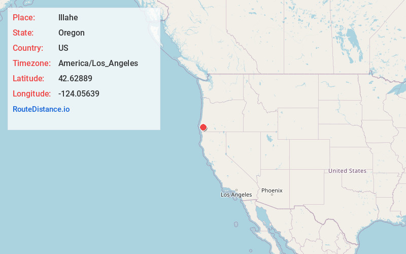
Full AddressIllahe, OR 97406
-
Coordinates42.62889, -124.05639
-
LocationIllahe , Oregon , US
-
TimezoneAmerica/Los_Angeles
-
Current Local Time7:03:32 PM America/Los_AngelesSunday, May 25, 2025
-
Page Views0
About Illahe
Illahe is an unincorporated community and the site of a former post office in Curry County, Oregon, United States. Located along the Rogue River approximately 8 miles upriver from Agness, the area was home to Takelma Indians, then to white and Karok settlers, before becoming part of a designated wilderness.


Nearby Places
Found 10 places within 50 miles

Lake of the Woods Mountain
4.4 mi
7.1 km
Lake of the Woods Mountain, Oregon 97406
Get directions

Agness
5.0 mi
8.0 km
Agness, OR 97406
Get directions

Marial
10.3 mi
16.6 km
Marial, OR 97406
Get directions
Ophir
17.2 mi
27.7 km
Ophir, OR 97465
Get directions

Powers
17.6 mi
28.3 km
Powers, OR 97466
Get directions

Nesika Beach
20.0 mi
32.2 km
Nesika Beach, OR 97444
Get directions
Bancroft
21.6 mi
34.8 km
Bancroft, OR 97458
Get directions
Heather Mountain
21.8 mi
35.1 km
Heather Mountain, Oregon
Get directions
Gaylord
22.7 mi
36.5 km
Gaylord, OR 97458
Get directions
Wedderburn
22.9 mi
36.9 km
Wedderburn, OR 97444
Get directions
Location Links
Local Weather
Weather Information
Coming soon!
Location Map
Static map view of Illahe, Oregon
Browse Places by Distance
Places within specific distances from Illahe
Short Distances
Long Distances
Click any distance to see all places within that range from Illahe. Distances shown in miles (1 mile ≈ 1.61 kilometers).