Distance to Illahee, Washington

Calculating Your Route
Just a moment while we process your request...
Location Information
-
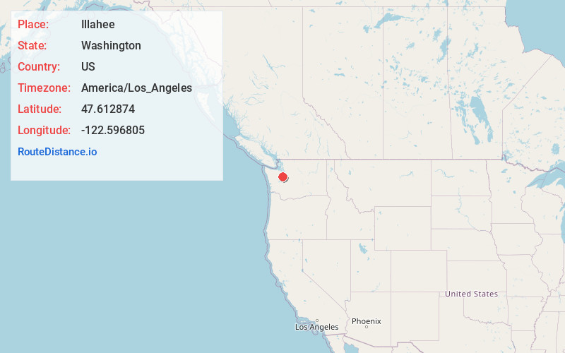
Full AddressIllahee, WA 98311
-
Coordinates47.6128736, -122.5968054
-
LocationIllahee , Washington , US
-
TimezoneAmerica/Los_Angeles
-
Current Local Time2:00:46 PM America/Los_AngelesFriday, June 20, 2025
-
Page Views0
About Illahee
Illahee is an unincorporated community in Kitsap County, Washington, United States, between Bremerton and Silverdale. It is home to Illahee State Park and other local parks. The word "Illahee" means earth or country in the pidgin language Chinuk Wawa, commonly spoken in the area until the early twentieth century.


Nearby Places
Found 10 places within 50 miles

Meadowdale
1.8 mi
2.9 km
Meadowdale, WA 98311
Get directions

Gilberton
1.8 mi
2.9 km
Gilberton, WA 98311
Get directions

Enetai
1.9 mi
3.1 km
Enetai, WA 98310
Get directions

Waterman Point
2.3 mi
3.7 km
Waterman Point, WA 98366
Get directions

Tracyton
2.7 mi
4.3 km
Tracyton, WA
Get directions
Waterman
2.8 mi
4.5 km
Waterman, WA 98366
Get directions
Wautauga Beach
2.9 mi
4.7 km
Wautauga Beach, WA 98366
Get directions

Brownsville
3.1 mi
5.0 km
Brownsville, WA 98370
Get directions

Fairview
3.4 mi
5.5 km
Fairview, WA 98311
Get directions

Bremerton
3.6 mi
5.8 km
Bremerton, WA
Get directions
Location Links
Local Weather
Weather Information
Coming soon!
Location Map
Static map view of Illahee, Washington
Browse Places by Distance
Places within specific distances from Illahee
Short Distances
Long Distances
Click any distance to see all places within that range from Illahee. Distances shown in miles (1 mile ≈ 1.61 kilometers).