Distance to Illia, Washington

Calculating Your Route
Just a moment while we process your request...
Location Information
-
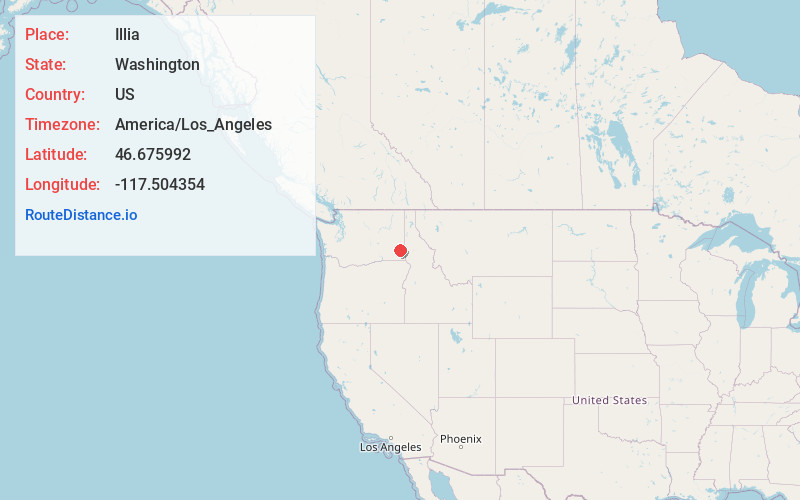
Full AddressIllia, WA 99347
-
Coordinates46.6759917, -117.504354
-
LocationIllia , Washington , US
-
TimezoneAmerica/Los_Angeles
-
Current Local Time10:41:54 AM America/Los_AngelesWednesday, June 18, 2025
-
Page Views0
Nearby Places
Found 10 places within 50 miles

Ping
7.8 mi
12.6 km
Ping, WA 99347
Get directions
Union Center
9.4 mi
15.1 km
Union Center, WA 99163
Get directions
Ewartsville
9.8 mi
15.8 km
Ewartsville, WA 99163
Get directions
Kirby
12.5 mi
20.1 km
Kirby, WA 99347
Get directions

Pataha
14.1 mi
22.7 km
Pataha, WA 99347
Get directions

Central Ferry
14.1 mi
22.7 km
Central Ferry, WA 99347
Get directions
Mockonema
14.2 mi
22.9 km
Mockonema, WA 99111
Get directions
Albion
14.4 mi
23.2 km
Albion, WA
Get directions

Pomeroy
14.7 mi
23.7 km
Pomeroy, WA 99347
Get directions
Shawnee
15.0 mi
24.1 km
Shawnee, WA 99163
Get directions
Location Links
Local Weather
Weather Information
Coming soon!
Location Map
Static map view of Illia, Washington
Browse Places by Distance
Places within specific distances from Illia
Short Distances
Long Distances
Click any distance to see all places within that range from Illia. Distances shown in miles (1 mile ≈ 1.61 kilometers).