Distance to Imnaha, Oregon

Calculating Your Route
Just a moment while we process your request...
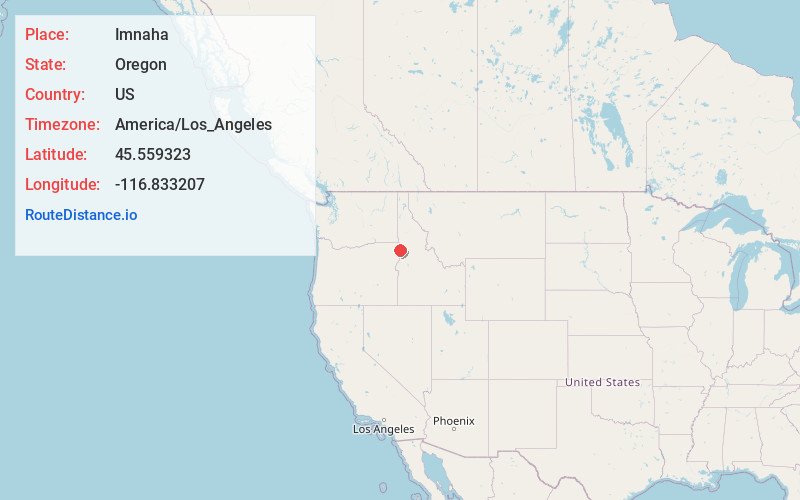
Location Information
-
Full AddressImnaha, OR 97842
-
Coordinates45.5593227, -116.8332066
-
LocationImnaha , Oregon , US
-
TimezoneAmerica/Los_Angeles
-
Current Local Time9:59:09 PM America/Los_AngelesFriday, June 6, 2025
-
Page Views0
About Imnaha
Imnaha is an unincorporated community at the confluence of Big Sheep Creek and the Imnaha River in Wallowa County, Oregon, United States. Its elevation is 1,978 feet. Oregon Route 350 connects Imnaha to the nearest incorporated city, Joseph, 30 miles to the west.


Nearby Places
Found 10 places within 50 miles

Enterprise
23.5 mi
37.8 km
Enterprise, OR 97828
Get directions

Joseph
23.9 mi
38.5 km
Joseph, OR 97846
Get directions

Wallowa Lake
25.0 mi
40.2 km
Wallowa Lake, OR 97846
Get directions

Lucile
25.4 mi
40.9 km
Lucile, ID 83542
Get directions

Riggins
26.8 mi
43.1 km
Riggins, ID 83549
Get directions

White Bird
29.2 mi
47.0 km
White Bird, ID 83554
Get directions

Lostine
29.3 mi
47.2 km
Lostine, OR 97857
Get directions

Landore
31.7 mi
51.0 km
Landore, ID 83612
Get directions

Wallowa
33.6 mi
54.1 km
Wallowa, OR 97885
Get directions
Shells Lick
35.6 mi
57.3 km
Shells Lick, ID 83554
Get directions
Location Links
Local Weather
Weather Information
Coming soon!
Location Map
Static map view of Imnaha, Oregon
Browse Places by Distance
Places within specific distances from Imnaha
Short Distances
Long Distances
Click any distance to see all places within that range from Imnaha. Distances shown in miles (1 mile ≈ 1.61 kilometers).