Distance to Riggins, Idaho

Calculating Your Route
Just a moment while we process your request...
Location Information
-
Full AddressRiggins, ID 83549
-
Coordinates45.4200222, -116.3163157
-
LocationRiggins , Idaho , US
-
TimezoneAmerica/Boise
-
Current Local Time8:04:30 PM America/BoiseMonday, May 19, 2025
-
Page Views0
About Riggins
Riggins is a city in the western United States in Idaho County, Idaho. Nestled deep in a canyon at the confluence of the Salmon and Little Salmon rivers in west central Idaho, it is approximately 150 highway miles north of Boise, and 120 highway miles south-southeast of Lewiston.


Nearby Places
Found 7 places within 50 miles

New Meadows
31.0 mi
49.9 km
New Meadows, ID 83654
Get directions

Grangeville
36.2 mi
58.3 km
Grangeville, ID 83530
Get directions

McCall
36.8 mi
59.2 km
McCall, ID 83638
Get directions

Cottonwood
43.5 mi
70.0 km
Cottonwood, ID 83522
Get directions

Joseph
44.6 mi
71.8 km
Joseph, OR 97846
Get directions

Enterprise
46.7 mi
75.2 km
Enterprise, OR 97828
Get directions

Council
48.1 mi
77.4 km
Council, ID 83612
Get directions
Location Links
Local Weather
Weather Information
Coming soon!
Location Map
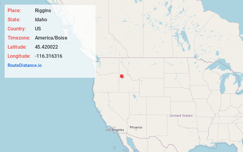
Static map view of Riggins, Idaho
Browse Places by Distance
Places within specific distances from Riggins
Short Distances
Long Distances
Click any distance to see all places within that range from Riggins. Distances shown in miles (1 mile ≈ 1.61 kilometers).