Distance to Independence, Ohio

Calculating Your Route
Just a moment while we process your request...
Location Information
-
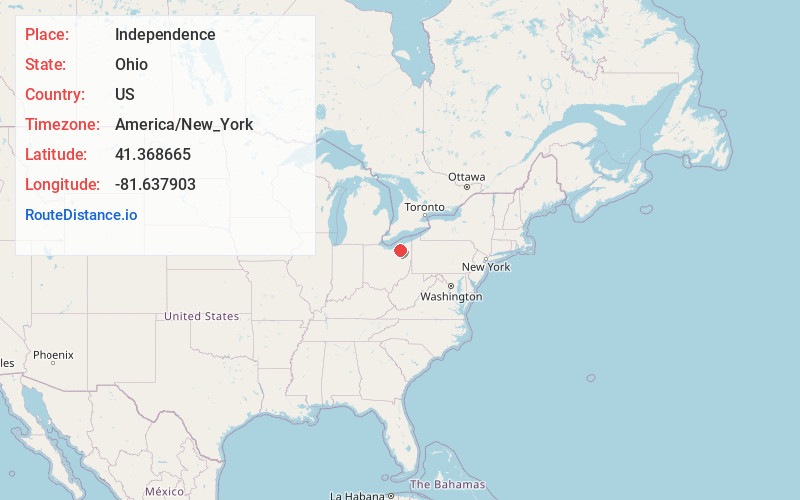
Full AddressIndependence, OH
-
Coordinates41.3686645, -81.6379033
-
LocationIndependence , Ohio , US
-
TimezoneAmerica/New_York
-
Current Local Time10:05:22 AM America/New_YorkWednesday, May 28, 2025
-
Website
-
Page Views0
About Independence
Independence is a city in Cuyahoga County, Ohio, United States. As of the 2020 census, the city population was 7,584. A suburb of Cleveland, it is a part of the Cleveland metropolitan area.


Nearby Places
Found 10 places within 50 miles

Seven Hills
2.7 mi
4.3 km
Seven Hills, OH 44131
Get directions

Brecksville
3.4 mi
5.5 km
Brecksville, OH 44141
Get directions

Garfield Heights
3.7 mi
6.0 km
Garfield Heights, OH
Get directions

Broadview Heights
4.5 mi
7.2 km
Broadview Heights, OH 44147
Get directions
Maple Heights
4.9 mi
7.9 km
Maple Heights, OH 44137
Get directions

Parma
5.1 mi
8.2 km
Parma, OH
Get directions

Bedford
5.5 mi
8.9 km
Bedford, OH 44146
Get directions

North Royalton
5.9 mi
9.5 km
North Royalton, OH 44133
Get directions

Parma Heights
6.5 mi
10.5 km
Parma Heights, OH 44130
Get directions

Oakwood
6.9 mi
11.1 km
Oakwood, OH 44146
Get directions
Location Links
Local Weather
Weather Information
Coming soon!
Location Map
Static map view of Independence, Ohio
Browse Places by Distance
Places within specific distances from Independence
Short Distances
Long Distances
Click any distance to see all places within that range from Independence. Distances shown in miles (1 mile ≈ 1.61 kilometers).