Distance to and from Indian Land, South Carolina
Indian Land, SC 29707
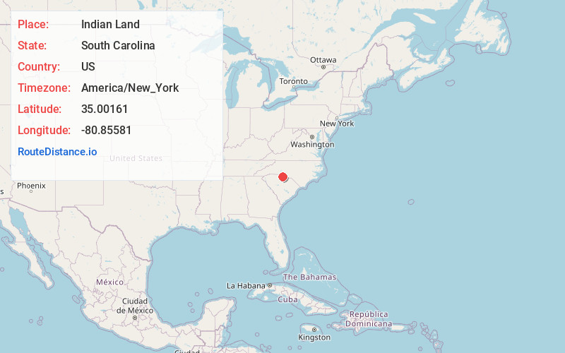
Indian Land
South Carolina
US
America/New_York
Location Information
-
Full AddressIndian Land, SC 29707
-
Coordinates35.0016097, -80.8558097
-
LocationIndian Land , South Carolina , US
-
TimezoneAmerica/New_York
-
Current Local Time11:20:36 AM America/New_YorkSaturday, May 3, 2025
-
Page Views0
Directions to Nearest Cities
About Indian Land
Indian Land is an unincorporated community in the northernmost part of Lancaster County, South Carolina, United States. It lies six miles east of Fort Mill, and west of the villages of Marvin and Waxhaw, North Carolina. While not incorporated, the community is assigned with the ZIP code 29707.


Nearby Places
Found 10 places within 50 miles

Marvin
2.4 mi
3.9 km
Marvin, NC 28173
Get directions

Camp Cox
2.9 mi
4.7 km
Camp Cox, SC 29707
Get directions

Fort Mill
5.1 mi
8.2 km
Fort Mill, SC
Get directions

Weddington
5.6 mi
9.0 km
Weddington, NC
Get directions

Pineville
6.0 mi
9.7 km
Pineville, NC
Get directions
Forest Lake
6.5 mi
10.5 km
Forest Lake, SC 29715
Get directions
Riverview
7.1 mi
11.4 km
Riverview, SC 29708
Get directions
Yorkdale
7.8 mi
12.6 km
Yorkdale, SC 29730
Get directions

Waxhaw
8.3 mi
13.4 km
Waxhaw, NC 28173
Get directions
Mexico
9.5 mi
15.3 km
Mexico, Rock Hill, SC 29730
Get directions
Marvin
2.4 mi
3.9 km
Marvin, NC 28173
Camp Cox
2.9 mi
4.7 km
Camp Cox, SC 29707
Fort Mill
5.1 mi
8.2 km
Fort Mill, SC
Weddington
5.6 mi
9.0 km
Weddington, NC
Pineville
6.0 mi
9.7 km
Pineville, NC
Forest Lake
6.5 mi
10.5 km
Forest Lake, SC 29715
Riverview
7.1 mi
11.4 km
Riverview, SC 29708
Yorkdale
7.8 mi
12.6 km
Yorkdale, SC 29730
Waxhaw
8.3 mi
13.4 km
Waxhaw, NC 28173
Mexico
9.5 mi
15.3 km
Mexico, Rock Hill, SC 29730
Location Links
Local Weather
Weather Information
Coming soon!
Location Map
Static map view of Indian Land, South Carolina
Browse Places by Distance
Places within specific distances from Indian Land
Short Distances
Long Distances
Click any distance to see all places within that range from Indian Land. Distances shown in miles (1 mile ≈ 1.61 kilometers).