Distance to Ingomar, California

Calculating Your Route
Just a moment while we process your request...
Location Information
-
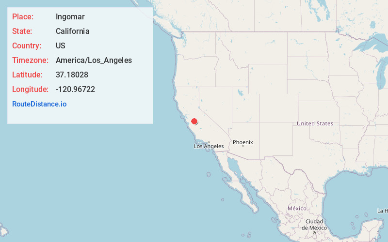
Full AddressIngomar, CA 95322
-
Coordinates37.18028, -120.96722
-
LocationIngomar , California , US
-
TimezoneAmerica/Los_Angeles
-
Current Local Time6:58:54 AM America/Los_AngelesThursday, May 29, 2025
-
Page Views0
About Ingomar
Ingomar was an unincorporated community in Merced County, California. It was located on the Southern Pacific Railroad 10.5 miles northwest of Los Banos, at an elevation of 92 feet.
A post office operated at Ingomar from 1890 to 1921.
Nearby Places
Found 10 places within 50 miles

Gustine
5.6 mi
9.0 km
Gustine, CA 95322
Get directions

Volta
5.9 mi
9.5 km
Volta, CA 93635
Get directions

Santa Nella
6.1 mi
9.8 km
Santa Nella, CA 95322
Get directions

Newman
9.7 mi
15.6 km
Newman, CA 95360
Get directions

Los Banos
10.6 mi
17.1 km
Los Banos, CA
Get directions

Stevinson
12.0 mi
19.3 km
Stevinson, CA 95374
Get directions

Crows Landing
15.8 mi
25.4 km
Crows Landing, CA
Get directions

Hilmar
16.7 mi
26.9 km
Hilmar, CA 95324
Get directions

Livingston
19.6 mi
31.5 km
Livingston, CA 95334
Get directions

Delhi
20.3 mi
32.7 km
Delhi, CA 95315
Get directions
Location Links
Local Weather
Weather Information
Coming soon!
Location Map
Static map view of Ingomar, California
Browse Places by Distance
Places within specific distances from Ingomar
Short Distances
Long Distances
Click any distance to see all places within that range from Ingomar. Distances shown in miles (1 mile ≈ 1.61 kilometers).