Distance to Volta, California

Calculating Your Route
Just a moment while we process your request...
Location Information
-
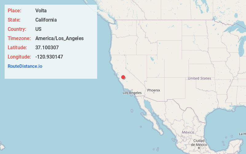
Full AddressVolta, CA 93635
-
Coordinates37.1003065, -120.9301468
-
LocationVolta , California , US
-
TimezoneAmerica/Los_Angeles
-
Current Local Time4:17:20 PM America/Los_AngelesFriday, May 23, 2025
-
Page Views0
About Volta
Volta is an unincorporated community and census-designated place in Merced County, California, United States. It is located 5 miles west-northwest of Los Banos at an elevation of 105 feet. The population was 366 at the 2020 census, up from 246 at the 2010 census.

Nearby Places
Found 10 places within 50 miles

Santa Nella
4.7 mi
7.6 km
Santa Nella, CA 95322
Get directions

Los Banos
5.3 mi
8.5 km
Los Banos, CA
Get directions

Gustine
11.5 mi
18.5 km
Gustine, CA 95322
Get directions

Newman
15.6 mi
25.1 km
Newman, CA 95360
Get directions

Dos Palos
18.5 mi
29.8 km
Dos Palos, CA 93620
Get directions

Hilmar
21.4 mi
34.4 km
Hilmar, CA 95324
Get directions

Livingston
22.8 mi
36.7 km
Livingston, CA 95334
Get directions

McSwain
23.5 mi
37.8 km
McSwain, CA
Get directions

El Nido
24.2 mi
38.9 km
El Nido, CA 95317
Get directions

Delhi
24.4 mi
39.3 km
Delhi, CA 95315
Get directions
Location Links
Local Weather
Weather Information
Coming soon!
Location Map
Static map view of Volta, California
Browse Places by Distance
Places within specific distances from Volta
Short Distances
Long Distances
Click any distance to see all places within that range from Volta. Distances shown in miles (1 mile ≈ 1.61 kilometers).