Distance to Dos Palos, California

Calculating Your Route
Just a moment while we process your request...
Location Information
-
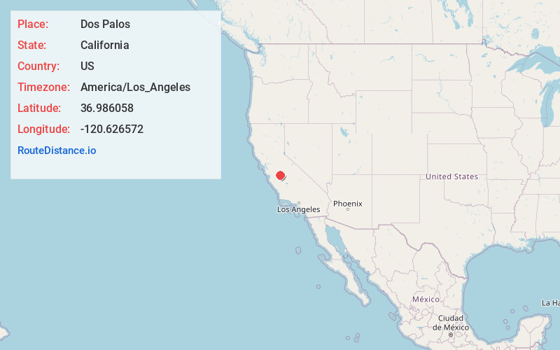
Full AddressDos Palos, CA 93620
-
Coordinates36.9860582, -120.6265722
-
LocationDos Palos , California , US
-
TimezoneAmerica/Los_Angeles
-
Current Local Time5:50:18 PM America/Los_AngelesWednesday, June 4, 2025
-
Page Views0
About Dos Palos
Dos Palos is a city in southern Merced County, California, United States. Dos Palos is located 27 miles south-southwest of Merced, the county seat, at an elevation of 118 feet. The population was 5,798 at the 2020 census, up from 4,950 at the 2010 census.


Nearby Places
Found 10 places within 50 miles

Firebaugh
12.9 mi
20.8 km
Firebaugh, CA
Get directions

Los Banos
13.3 mi
21.4 km
Los Banos, CA
Get directions

Mendota
21.0 mi
33.8 km
Mendota, CA 93640
Get directions

Chowchilla
22.3 mi
35.9 km
Chowchilla, CA 93610
Get directions

Merced
23.2 mi
37.3 km
Merced, CA
Get directions

Atwater
25.0 mi
40.2 km
Atwater, CA 95301
Get directions

Gustine
27.8 mi
44.7 km
Gustine, CA 95322
Get directions

Winton
27.9 mi
44.9 km
Winton, CA 95388
Get directions

Livingston
28.2 mi
45.4 km
Livingston, CA 95334
Get directions

Madera Acres
30.5 mi
49.1 km
Madera Acres, CA 93638
Get directions
Location Links
Local Weather
Weather Information
Coming soon!
Location Map
Static map view of Dos Palos, California
Browse Places by Distance
Places within specific distances from Dos Palos
Short Distances
Long Distances
Click any distance to see all places within that range from Dos Palos. Distances shown in miles (1 mile ≈ 1.61 kilometers).