Distance to Firebaugh, California

Calculating Your Route
Just a moment while we process your request...
Location Information
-
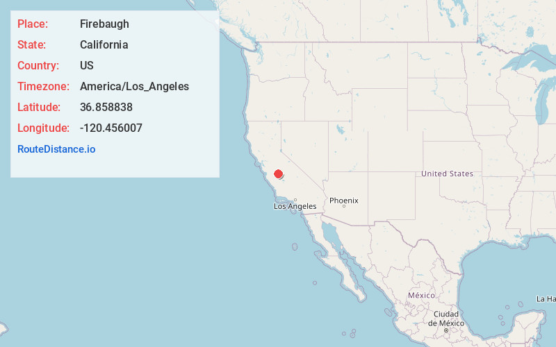
Full AddressFirebaugh, CA
-
Coordinates36.8588376, -120.4560072
-
LocationFirebaugh , California , US
-
TimezoneAmerica/Los_Angeles
-
Current Local Time1:15:18 PM America/Los_AngelesSunday, June 8, 2025
-
Website
-
Page Views0
About Firebaugh
Firebaugh is a city in Fresno County, California, United States, on the west side of the San Joaquin River 38 miles west of Fresno.
State Route 33 and the San Joaquin Valley Railroad, West Side Subdivision, pass through downtown.


Nearby Places
Found 10 places within 50 miles

Mendota
8.4 mi
13.5 km
Mendota, CA 93640
Get directions

Chowchilla
21.2 mi
34.1 km
Chowchilla, CA 93610
Get directions

Madera
23.0 mi
37.0 km
Madera, CA
Get directions

Madera Acres
23.6 mi
38.0 km
Madera Acres, CA 93638
Get directions

Kerman
23.8 mi
38.3 km
Kerman, CA 93630
Get directions

Los Banos
25.7 mi
41.4 km
Los Banos, CA
Get directions

Merced
30.7 mi
49.4 km
Merced, CA
Get directions

Atwater
34.8 mi
56.0 km
Atwater, CA 95301
Get directions

Winton
37.7 mi
60.7 km
Winton, CA 95388
Get directions

Fresno
37.9 mi
61.0 km
Fresno, CA
Get directions
Location Links
Local Weather
Weather Information
Coming soon!
Location Map
Static map view of Firebaugh, California
Browse Places by Distance
Places within specific distances from Firebaugh
Short Distances
Long Distances
Click any distance to see all places within that range from Firebaugh. Distances shown in miles (1 mile ≈ 1.61 kilometers).