Distance to Kerman, California

Calculating Your Route
Just a moment while we process your request...
Location Information
-
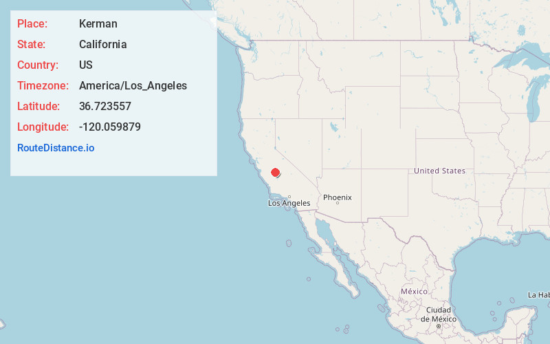
Full AddressKerman, CA 93630
-
Coordinates36.7235572, -120.059879
-
LocationKerman , California , US
-
TimezoneAmerica/Los_Angeles
-
Current Local Time5:19:36 AM America/Los_AngelesWednesday, May 21, 2025
-
Page Views0
About Kerman
Kerman is a city at the intersection of State Route 180 and State Route 145 in Fresno County, California, United States. The population was 16,016 at the 2010 census. Kerman is located 15 miles west of Fresno, at an elevation of 220 feet.


Nearby Places
Found 10 places within 50 miles

Fresno
15.1 mi
24.3 km
Fresno, CA
Get directions

Madera
16.4 mi
26.4 km
Madera, CA
Get directions

Clovis
21.0 mi
33.8 km
Clovis, CA
Get directions

Selma
27.0 mi
43.5 km
Selma, CA
Get directions

Sanger
27.9 mi
44.9 km
Sanger, CA
Get directions

Chowchilla
29.7 mi
47.8 km
Chowchilla, CA 93610
Get directions

Lemoore
33.0 mi
53.1 km
Lemoore, CA 93245
Get directions

Reedley
34.9 mi
56.2 km
Reedley, CA
Get directions

Hanford
35.7 mi
57.5 km
Hanford, CA 93230
Get directions

Dinuba
39.3 mi
63.2 km
Dinuba, CA
Get directions
Location Links
Local Weather
Weather Information
Coming soon!
Location Map
Static map view of Kerman, California
Browse Places by Distance
Places within specific distances from Kerman
Short Distances
Long Distances
Click any distance to see all places within that range from Kerman. Distances shown in miles (1 mile ≈ 1.61 kilometers).