Distance to Ingomar, Montana

Calculating Your Route
Just a moment while we process your request...
Location Information
-
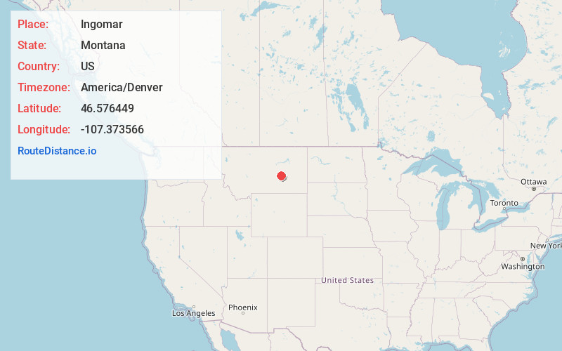
Full AddressIngomar, MT
-
Coordinates46.5764492, -107.3735655
-
LocationIngomar , Montana , US
-
TimezoneAmerica/Denver
-
Current Local Time11:58:25 PM America/DenverTuesday, June 17, 2025
-
Page Views0
About Ingomar
Ingomar is an unincorporated community in northwestern Rosebud County, Montana, United States, along the route of U.S. Route 12. The town was established in 1908, as a station stop on the Chicago, Milwaukee, St. Paul and Pacific Railroad, then under construction in Montana.

Nearby Places
Found 10 places within 50 miles

Sumatra
8.9 mi
14.3 km
Sumatra, MT 59054
Get directions

Hysham
20.7 mi
33.3 km
Hysham, MT 59038
Get directions
Melstone
23.7 mi
38.1 km
Melstone, MT 59054
Get directions
Custer
32.1 mi
51.7 km
Custer, MT 59024
Get directions
Musselshell
34.3 mi
55.2 km
Musselshell, MT 59059
Get directions
Cold Spring
35.7 mi
57.5 km
Cold Spring, MT 59327
Get directions
Fee
36.8 mi
59.2 km
Fee, MT 59024
Get directions
Waco
38.2 mi
61.5 km
Waco, MT 59024
Get directions

Forsyth
39.4 mi
63.4 km
Forsyth, MT 59327
Get directions
Cat Creek
45.1 mi
72.6 km
Cat Creek, MT 59087
Get directions
Location Links
Local Weather
Weather Information
Coming soon!
Location Map
Static map view of Ingomar, Montana
Browse Places by Distance
Places within specific distances from Ingomar
Short Distances
Long Distances
Click any distance to see all places within that range from Ingomar. Distances shown in miles (1 mile ≈ 1.61 kilometers).