Distance to Iowa Hill, California

Calculating Your Route
Just a moment while we process your request...
Location Information
-
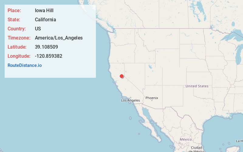
Full AddressIowa Hill, CA 95713
-
Coordinates39.1085091, -120.8593823
-
LocationIowa Hill , California , US
-
TimezoneAmerica/Los_Angeles
-
Current Local Time8:16:12 PM America/Los_AngelesThursday, June 5, 2025
-
Page Views0
About Iowa Hill
Iowa Hill is an unincorporated community in Placer County, California, United States. The town is located 6.5 miles northwest of Foresthill 9 miles east of Colfax and 58 miles northeast of Sacramento. It lies at an elevation of 2861 feet. The community relies completely upon solar panels and generators for power.


Nearby Places
Found 10 places within 50 miles

Secret Town
3.5 mi
5.6 km
Secret Town, CA 95713
Get directions
Cape Horn
3.8 mi
6.1 km
Cape Horn, CA 95713
Get directions
Shady Glen
4.9 mi
7.9 km
Shady Glen, CA 95713
Get directions

Colfax
5.1 mi
8.2 km
Colfax, CA 95713
Get directions

Foresthill
6.5 mi
10.5 km
Foresthill, CA
Get directions

Dutch Flat
6.8 mi
10.9 km
Dutch Flat, CA 95714
Get directions

Alta
7.3 mi
11.7 km
Alta, CA 95701
Get directions
Casa Loma
7.6 mi
12.2 km
Casa Loma, CA 95701
Get directions
Red Dog
7.8 mi
12.6 km
Red Dog, CA 95959
Get directions

Michigan Bluff
7.8 mi
12.6 km
Michigan Bluff, CA 95631
Get directions
Location Links
Local Weather
Weather Information
Coming soon!
Location Map
Static map view of Iowa Hill, California
Browse Places by Distance
Places within specific distances from Iowa Hill
Short Distances
Long Distances
Click any distance to see all places within that range from Iowa Hill. Distances shown in miles (1 mile ≈ 1.61 kilometers).