Distance to Colfax, California

Calculating Your Route
Just a moment while we process your request...
Location Information
-
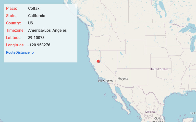
Full AddressColfax, CA 95713
-
Coordinates39.1007298, -120.9532759
-
LocationColfax , California , US
-
TimezoneAmerica/Los_Angeles
-
Current Local Time11:25:10 AM America/Los_AngelesTuesday, July 1, 2025
-
Website
-
Page Views0
About Colfax
Colfax is a city in Placer County, California, at the crossroads of Interstate 80 and State Route 174. The population was 1,963 at the 2010 census. The town is named in honor of U.S. Vice President Schuyler Colfax, a bronze statue of whom stands at Railroad Street and Grass Valley Street.


Nearby Places
Found 10 places within 50 miles

Alta Sierra
6.1 mi
9.8 km
Alta Sierra, CA 95949
Get directions

Meadow Vista
7.8 mi
12.6 km
Meadow Vista, CA
Get directions

Grass Valley
10.0 mi
16.1 km
Grass Valley, CA
Get directions

Nevada City
11.6 mi
18.7 km
Nevada City, CA 95959
Get directions

North Auburn
14.0 mi
22.5 km
North Auburn, CA
Get directions

Auburn Lake Trails
14.7 mi
23.7 km
Auburn Lake Trails, CA 95614
Get directions

Georgetown
14.7 mi
23.7 km
Georgetown, CA
Get directions

Auburn
15.6 mi
25.1 km
Auburn, CA
Get directions

Lake Wildwood
16.1 mi
25.9 km
Lake Wildwood, CA 95946
Get directions

Loomis
23.2 mi
37.3 km
Loomis, CA 95650
Get directions
Location Links
Local Weather
Weather Information
Coming soon!
Location Map
Static map view of Colfax, California
Browse Places by Distance
Places within specific distances from Colfax
Short Distances
Long Distances
Click any distance to see all places within that range from Colfax. Distances shown in miles (1 mile ≈ 1.61 kilometers).