Distance to Iron Lightning, South Dakota

Calculating Your Route
Just a moment while we process your request...
Location Information
-
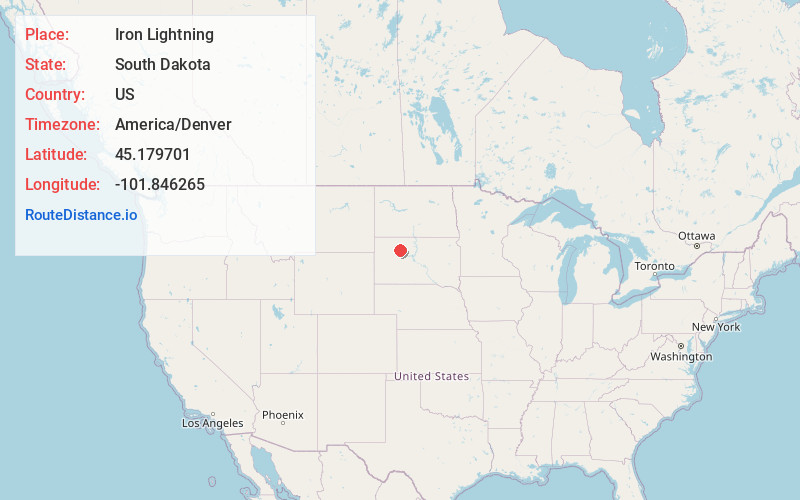
Full AddressIron Lightning, SD 57623
-
Coordinates45.1797007, -101.8462645
-
LocationIron Lightning , South Dakota , US
-
TimezoneAmerica/Denver
-
Current Local Time11:51:11 AM America/DenverWednesday, June 18, 2025
-
Page Views0
Nearby Places
Found 10 places within 50 miles

Thunder Butte
8.9 mi
14.3 km
Thunder Butte, SD 57623
Get directions

Faith
14.2 mi
22.9 km
Faith, SD 57626
Get directions
Dupree
15.1 mi
24.3 km
Dupree, SD 57623
Get directions
Glad Valley
15.5 mi
24.9 km
Glad Valley, SD 57644
Get directions
Chase
19.6 mi
31.5 km
Chase, SD 57623
Get directions
Bear Creek
21.2 mi
34.1 km
Bear Creek, SD 57636
Get directions
Coal Springs
22.1 mi
35.6 km
Coal Springs, SD 57644
Get directions
Lantry
23.2 mi
37.3 km
Lantry, SD
Get directions

Isabel
25.1 mi
40.4 km
Isabel, SD 57633
Get directions

Perkins County
27.3 mi
43.9 km
Perkins County, SD
Get directions
Location Links
Local Weather
Weather Information
Coming soon!
Location Map
Static map view of Iron Lightning, South Dakota
Browse Places by Distance
Places within specific distances from Iron Lightning
Short Distances
Long Distances
Click any distance to see all places within that range from Iron Lightning. Distances shown in miles (1 mile ≈ 1.61 kilometers).