Distance to Iron Mountain Mine, California

Calculating Your Route
Just a moment while we process your request...
Location Information
-
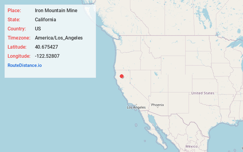
Full AddressIron Mountain Mine, California 96001
-
Coordinates40.6754267, -122.52807
-
LocationCalifornia , US
-
TimezoneAmerica/Los_Angeles
-
Current Local Time11:32:17 AM America/Los_AngelesFriday, June 27, 2025
-
Page Views0


Nearby Places
Found 10 places within 50 miles

Whiskeytown
3.0 mi
4.8 km
Whiskeytown, CA 96095
Get directions

Keswick
5.0 mi
8.0 km
Keswick, CA 96001
Get directions

Shasta
5.7 mi
9.2 km
Shasta, CA
Get directions

French Gulch
6.0 mi
9.7 km
French Gulch, CA 96033
Get directions
Buckeye
7.2 mi
11.6 km
Buckeye, CA 96003
Get directions

Shasta Lake
8.2 mi
13.2 km
Shasta Lake, CA 96019
Get directions

Redding
10.3 mi
16.6 km
Redding, CA
Get directions

Mountain Gate
10.7 mi
17.2 km
Mountain Gate, CA 96003
Get directions
McColl
11.0 mi
17.7 km
McColl, Mountain Gate, CA 96003
Get directions
Tunnel Inn
11.2 mi
18.0 km
Tunnel Inn, Mountain Gate, CA 96003
Get directions
Location Links
Local Weather
Weather Information
Coming soon!
Location Map
Static map view of Iron Mountain Mine, California
Browse Places by Distance
Places within specific distances from Iron Mountain Mine
Short Distances
Long Distances
Click any distance to see all places within that range from Iron Mountain Mine. Distances shown in miles (1 mile ≈ 1.61 kilometers).