Distance to Shasta, California

Calculating Your Route
Just a moment while we process your request...
Location Information
-
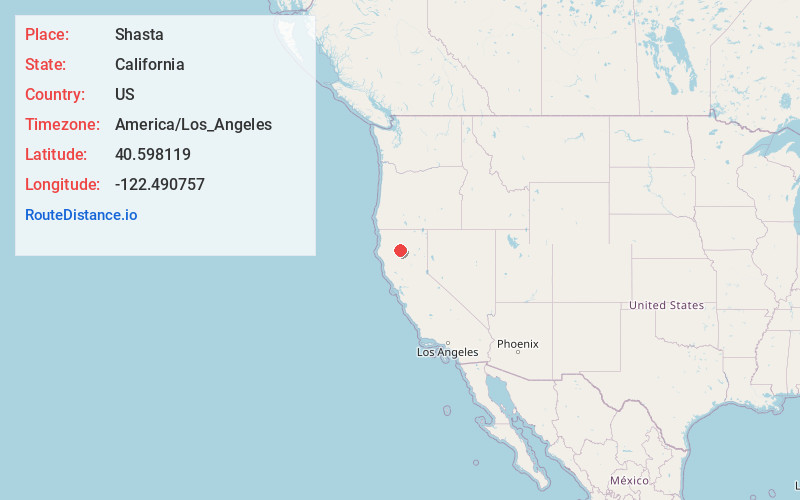
Full AddressShasta, CA
-
Coordinates40.598119, -122.4907566
-
LocationShasta , California , US
-
TimezoneAmerica/Los_Angeles
-
Current Local Time2:23:24 PM America/Los_AngelesFriday, May 23, 2025
-
Page Views0
About Shasta
Shasta is a census-designated place in Shasta County, California, United States. Shasta sits at an elevation of 843 feet. Its population is 1,043 as of the 2020 census, down from 1,771 from the 2010 census.
Shasta State Historic Park located at Shasta is a ghost town and California State Historic Park.


Nearby Places
Found 10 places within 50 miles

Redding
5.8 mi
9.3 km
Redding, CA
Get directions

Shasta Lake
8.5 mi
13.7 km
Shasta Lake, CA 96019
Get directions

Happy Valley
11.1 mi
17.9 km
Happy Valley, CA 96007
Get directions

Bella Vista
11.9 mi
19.2 km
Bella Vista, CA
Get directions

Palo Cedro
13.4 mi
21.6 km
Palo Cedro, CA
Get directions

Anderson
14.5 mi
23.3 km
Anderson, CA 96007
Get directions

Lewiston
18.0 mi
29.0 km
Lewiston, CA 96052
Get directions

Cottonwood
18.4 mi
29.6 km
Cottonwood, CA 96022
Get directions

Weaverville
25.4 mi
40.9 km
Weaverville, CA
Get directions

Red Bluff
31.9 mi
51.3 km
Red Bluff, CA 96080
Get directions
Location Links
Local Weather
Weather Information
Coming soon!
Location Map
Static map view of Shasta, California
Browse Places by Distance
Places within specific distances from Shasta
Short Distances
Long Distances
Click any distance to see all places within that range from Shasta. Distances shown in miles (1 mile ≈ 1.61 kilometers).