Distance to Iron Ridge, Pennsylvania

Calculating Your Route
Just a moment while we process your request...
Location Information
-
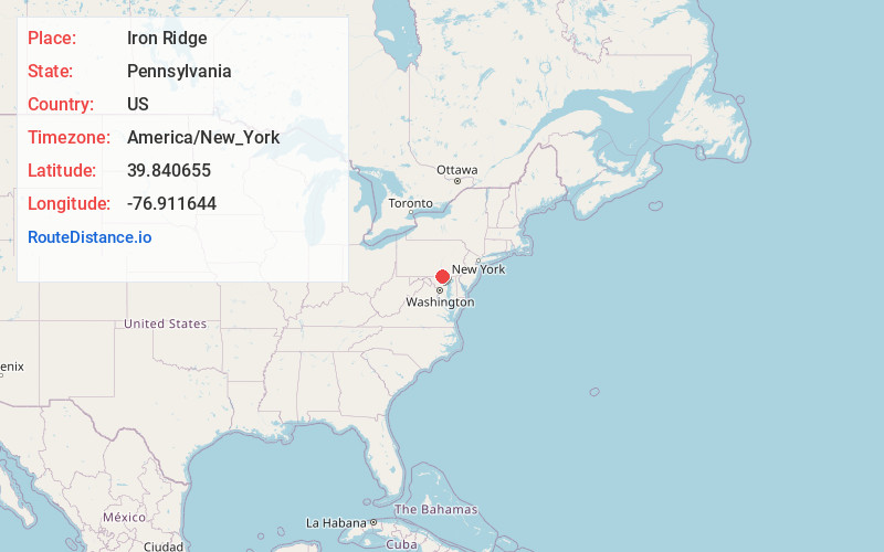
Full AddressIron Ridge, Heidelberg Township, PA 17362
-
Coordinates39.8406552, -76.9116436
-
LocationHeidelberg Township , Pennsylvania , US
-
TimezoneAmerica/New_York
-
Current Local Time7:35:57 AM America/New_YorkFriday, June 20, 2025
-
Page Views0
Nearby Places
Found 10 places within 50 miles

Jacobs Mills
1.0 mi
1.6 km
Jacobs Mills, PA 17331
Get directions
Ambau
1.2 mi
1.9 km
Ambau, PA 17362
Get directions
Moulstown
1.4 mi
2.3 km
Moulstown, PA 17331
Get directions
Porters Sideling
1.4 mi
2.3 km
Porters Sideling, PA 17362
Get directions
Menges Mills
1.7 mi
2.7 km
Menges Mills, PA 17362
Get directions
Kraft Mill
2.3 mi
3.7 km
Kraft Mill, Heidelberg Township, PA 17362
Get directions
Lehman
3.3 mi
5.3 km
Lehman, North Codorus Township, PA 17362
Get directions

Spring Grove
3.4 mi
5.5 km
Spring Grove, PA 17362
Get directions
Sinsheim
3.5 mi
5.6 km
Sinsheim, PA 17362
Get directions
Marburg
4.1 mi
6.6 km
Marburg, Manheim Township, PA 17362
Get directions
Location Links
Local Weather
Weather Information
Coming soon!
Location Map
Static map view of Iron Ridge, Pennsylvania
Browse Places by Distance
Places within specific distances from Iron Ridge
Short Distances
Long Distances
Click any distance to see all places within that range from Iron Ridge. Distances shown in miles (1 mile ≈ 1.61 kilometers).