Distance to Itasca, Illinois

Calculating Your Route
Just a moment while we process your request...
Location Information
-
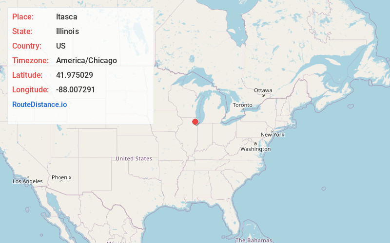
Full AddressItasca, IL
-
Coordinates41.9750287, -88.0072909
-
LocationItasca , Illinois , US
-
TimezoneAmerica/Chicago
-
Current Local Time2:20:09 AM America/ChicagoSaturday, June 7, 2025
-
Page Views0
About Itasca
Itasca is a village in DuPage County, Illinois, United States. Per the 2020 Census, the population was 9,543. Located approximately 25 miles northwest of downtown Chicago, Itasca is close to O'Hare International Airport, major expressways and rail transportation.


Nearby Places
Found 10 places within 50 miles

Wood Dale
1.7 mi
2.7 km
Wood Dale, IL
Get directions

Elk Grove Village
2.8 mi
4.5 km
Elk Grove Village, IL
Get directions

Addison
3.1 mi
5.0 km
Addison, IL
Get directions

Bensenville
3.7 mi
6.0 km
Bensenville, IL
Get directions

Roselle
3.8 mi
6.1 km
Roselle, IL
Get directions

Bloomingdale
4.0 mi
6.4 km
Bloomingdale, IL
Get directions

Schaumburg
4.8 mi
7.7 km
Schaumburg, IL
Get directions

Glendale Heights
5.5 mi
8.9 km
Glendale Heights, IL
Get directions

Villa Park
6.0 mi
9.7 km
Villa Park, IL
Get directions

Elmhurst
6.0 mi
9.7 km
Elmhurst, IL
Get directions
Location Links
Local Weather
Weather Information
Coming soon!
Location Map
Static map view of Itasca, Illinois
Browse Places by Distance
Places within specific distances from Itasca
Short Distances
Long Distances
Click any distance to see all places within that range from Itasca. Distances shown in miles (1 mile ≈ 1.61 kilometers).