Distance to Ivey, Georgia

Calculating Your Route
Just a moment while we process your request...
Location Information
-
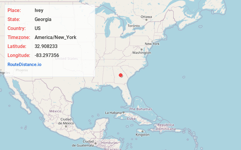
Full AddressIvey, GA 31031
-
Coordinates32.9082333, -83.2973555
-
LocationIvey , Georgia , US
-
TimezoneAmerica/New_York
-
Current Local Time11:52:37 PM America/New_YorkFriday, June 27, 2025
-
Page Views0
About Ivey
Ivey is a town in Wilkinson County, Georgia, United States. The population was 1,037 in 2020.


Nearby Places
Found 10 places within 50 miles

Gordon
2.7 mi
4.3 km
Gordon, GA 31031
Get directions

Milledgeville
12.5 mi
20.1 km
Milledgeville, GA
Get directions

Gray
15.4 mi
24.8 km
Gray, GA 31032
Get directions

Macon
20.1 mi
32.3 km
Macon, GA
Get directions

Robins AFB
25.2 mi
40.6 km
Robins AFB, GA 31098
Get directions

Warner Robins
27.9 mi
44.9 km
Warner Robins, GA
Get directions

Tennille
28.2 mi
45.4 km
Tennille, GA 31089
Get directions

Sandersville
28.7 mi
46.2 km
Sandersville, GA
Get directions

Eatonton
29.4 mi
47.3 km
Eatonton, GA 31024
Get directions

Centerville
29.8 mi
48.0 km
Centerville, GA
Get directions
Location Links
Local Weather
Weather Information
Coming soon!
Location Map
Static map view of Ivey, Georgia
Browse Places by Distance
Places within specific distances from Ivey
Short Distances
Long Distances
Click any distance to see all places within that range from Ivey. Distances shown in miles (1 mile ≈ 1.61 kilometers).