Distance to and from Ivytown, Maryland
Ivytown, MD 21601
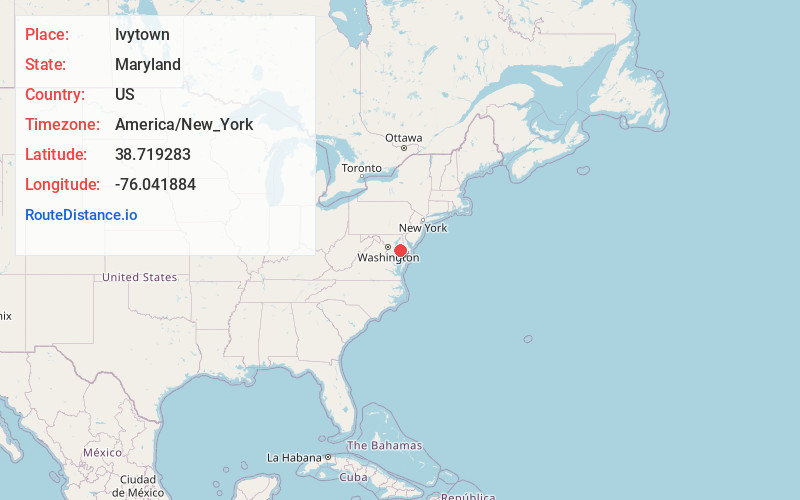
Maryland
US
America/New_York
Location Information
-
Full AddressIvytown, MD 21601
-
Coordinates38.7192829, -76.0418842
-
LocationMaryland , US
-
TimezoneAmerica/New_York
-
Current Local Time2:23:38 PM America/New_YorkSunday, May 4, 2025
-
Page Views0
Directions to Nearest Cities
Nearby Places
Found 10 places within 50 miles

Llandaff
2.2 mi
3.5 km
Llandaff, MD 21601
Get directions

Easton
4.2 mi
6.8 km
Easton, MD 21601
Get directions

Trappe
4.3 mi
6.9 km
Trappe, MD 21673
Get directions
Windyhill
4.3 mi
6.9 km
Windyhill, MD 21673
Get directions
Bruceville
4.6 mi
7.4 km
Bruceville, MD 21673
Get directions
Poplar Neck
4.7 mi
7.6 km
Poplar Neck, Maryland 21655
Get directions
Barber
5.5 mi
8.9 km
Barber, MD 21673
Get directions
Bethlehem
5.6 mi
9.0 km
Bethlehem, MD 21655
Get directions

Choptank
5.7 mi
9.2 km
Choptank, MD 21655
Get directions
Kirkham
6.3 mi
10.1 km
Kirkham, MD 21601
Get directions
Llandaff
2.2 mi
3.5 km
Llandaff, MD 21601
Easton
4.2 mi
6.8 km
Easton, MD 21601
Trappe
4.3 mi
6.9 km
Trappe, MD 21673
Windyhill
4.3 mi
6.9 km
Windyhill, MD 21673
Bruceville
4.6 mi
7.4 km
Bruceville, MD 21673
Poplar Neck
4.7 mi
7.6 km
Poplar Neck, Maryland 21655
Barber
5.5 mi
8.9 km
Barber, MD 21673
Bethlehem
5.6 mi
9.0 km
Bethlehem, MD 21655
Choptank
5.7 mi
9.2 km
Choptank, MD 21655
Kirkham
6.3 mi
10.1 km
Kirkham, MD 21601
Location Links
Local Weather
Weather Information
Coming soon!
Location Map
Static map view of Ivytown, Maryland
Browse Places by Distance
Places within specific distances from Ivytown
Short Distances
Long Distances
Click any distance to see all places within that range from Ivytown. Distances shown in miles (1 mile ≈ 1.61 kilometers).