Distance to Jacinto, Nebraska

Calculating Your Route
Just a moment while we process your request...
Location Information
-
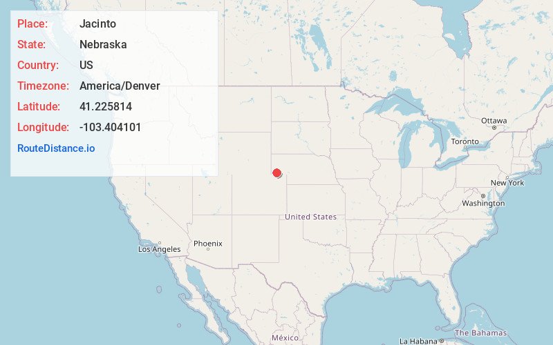
Full AddressJacinto, NE 69156
-
Coordinates41.2258142, -103.4041011
-
LocationJacinto , Nebraska , US
-
TimezoneAmerica/Denver
-
Current Local Time11:54:45 PM America/DenverFriday, June 20, 2025
-
Page Views0
Nearby Places
Found 10 places within 50 miles

Dix
4.3 mi
6.9 km
Dix, NE 69133
Get directions

Potter
4.6 mi
7.4 km
Potter, NE
Get directions
Point of Rocks
8.3 mi
13.4 km
Point of Rocks, Potter Precinct, NE 69156
Get directions
Owasco
8.9 mi
14.3 km
Owasco, Antelope Precinct, NE 69145
Get directions
Mt Vernon
13.4 mi
21.6 km
Mt Vernon, Potter Precinct, NE 69162
Get directions

Kimball
13.5 mi
21.7 km
Kimball, NE 69145
Get directions
Brownson
15.4 mi
24.8 km
Brownson, NE 69162
Get directions
Oliver
20.0 mi
32.2 km
Oliver, Antelope Precinct, NE 69145
Get directions

Sidney
22.9 mi
36.9 km
Sidney, NE 69162
Get directions
Gurley
23.5 mi
37.8 km
Gurley, NE
Get directions
Location Links
Local Weather
Weather Information
Coming soon!
Location Map
Static map view of Jacinto, Nebraska
Browse Places by Distance
Places within specific distances from Jacinto
Short Distances
Long Distances
Click any distance to see all places within that range from Jacinto. Distances shown in miles (1 mile ≈ 1.61 kilometers).