Distance to Jack, Alabama

Calculating Your Route
Just a moment while we process your request...
Location Information
-
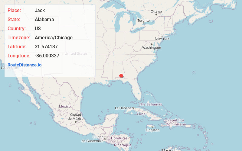
Full AddressJack, AL
-
Coordinates31.5741373, -86.0003369
-
LocationJack , Alabama , US
-
TimezoneAmerica/Chicago
-
Current Local Time12:40:46 AM America/ChicagoFriday, June 20, 2025
-
Page Views0
About Jack
Jack is an unincorporated community in Coffee County, Alabama, United States. Jack is located on Alabama State Route 87, 11.7 miles north-northeast of Elba. Jack has a post office with ZIP code 36346. Jack has a single K-12 school, Zion Chapel. [3] There are 1,379 residents in Jack, with a median age of 44.9.
Nearby Places
Found 10 places within 50 miles

Wilkinstown
2.4 mi
3.9 km
Wilkinstown, AL 36079
Get directions
Lowry Mill
2.7 mi
4.3 km
Lowry Mill, AL 36346
Get directions
Shady Grove
4.1 mi
6.6 km
Shady Grove, AL 36323
Get directions
Victoria
4.8 mi
7.7 km
Victoria, AL 36346
Get directions
Chestnut Grove
5.3 mi
8.5 km
Chestnut Grove, AL 36346
Get directions
Clowers Crossroads
6.4 mi
10.3 km
Clowers Crossroads, AL 36346
Get directions
Zoar
6.9 mi
11.1 km
Zoar, AL 36323
Get directions
Henderson
7.7 mi
12.4 km
Henderson, AL 36035
Get directions
Newby
7.8 mi
12.6 km
Newby, AL 36323
Get directions
Tarentum
8.5 mi
13.7 km
Tarentum, AL 36010
Get directions
Location Links
Local Weather
Weather Information
Coming soon!
Location Map
Static map view of Jack, Alabama
Browse Places by Distance
Places within specific distances from Jack
Short Distances
Long Distances
Click any distance to see all places within that range from Jack. Distances shown in miles (1 mile ≈ 1.61 kilometers).