Distance to Jacks Reef, New York

Calculating Your Route
Just a moment while we process your request...
Location Information
-
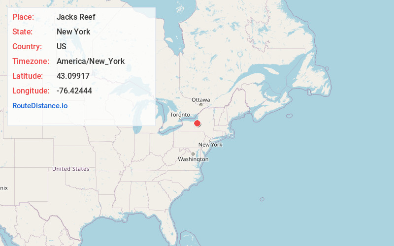
Full AddressJacks Reef, NY 13112
-
Coordinates43.09917, -76.42444
-
LocationJacks Reef , New York , US
-
TimezoneAmerica/New_York
-
Current Local Time6:51:12 PM America/New_YorkFriday, June 20, 2025
-
Page Views0
About Jacks Reef
Jack's Reef is a hamlet in the Town of Van Buren, New York in Onondaga County, United States. It was developed around an inn where Old Route 31 bent around a large oxbow in the Seneca River. Subsequently, a canal was cut approximately one mile to the north, which shortened the navigation route.
Nearby Places
Found 10 places within 50 miles

Plainville
4.4 mi
7.1 km
Plainville, NY
Get directions

Elbridge
4.6 mi
7.4 km
Elbridge, NY
Get directions

Baldwinsville
6.2 mi
10.0 km
Baldwinsville, NY 13027
Get directions
Van Buren
6.3 mi
10.1 km
Van Buren, NY 13027
Get directions
Seneca Knolls
7.1 mi
11.4 km
Seneca Knolls, NY
Get directions

Camillus
7.4 mi
11.9 km
Camillus, NY 13031
Get directions
Weedsport
7.8 mi
12.6 km
Weedsport, NY 13166
Get directions
Jacksonville
8.0 mi
12.9 km
Jacksonville, Lysander, NY 13135
Get directions
Sennett
9.1 mi
14.6 km
Sennett, NY 13021
Get directions
Marcellus
9.1 mi
14.6 km
Marcellus, NY 13108
Get directions
Location Links
Local Weather
Weather Information
Coming soon!
Location Map
Static map view of Jacks Reef, New York
Browse Places by Distance
Places within specific distances from Jacks Reef
Short Distances
Long Distances
Click any distance to see all places within that range from Jacks Reef. Distances shown in miles (1 mile ≈ 1.61 kilometers).