Distance to Van Buren, New York

Calculating Your Route
Just a moment while we process your request...
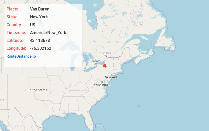
Location Information
-
Full AddressVan Buren, NY 13027
-
Coordinates43.1136782, -76.3021523
-
LocationVan Buren , New York , US
-
TimezoneAmerica/New_York
-
Current Local Time6:24:25 PM America/New_YorkFriday, June 20, 2025
-
Page Views0
About Van Buren
Van Buren is a town located in Onondaga County, New York, United States. As of the 2020 Census, the population was 14,367. The town is named after then-Senator Martin Van Buren, who would later become the eighth president of the United States.
Nearby Places
Found 8 places within 50 miles

Camillus
5.1 mi
8.2 km
Camillus, NY 13031
Get directions

Syracuse
9.0 mi
14.5 km
Syracuse, NY
Get directions

Onondaga
11.1 mi
17.9 km
Onondaga, NY 13215
Get directions

De Witt
12.8 mi
20.6 km
De Witt, NY
Get directions

Manlius
18.1 mi
29.1 km
Manlius, NY 13104
Get directions
Sullivan
23.3 mi
37.5 km
Sullivan, NY 13037
Get directions

Cortland
35.9 mi
57.8 km
Cortland, NY 13045
Get directions
Whitestown
49.1 mi
79.0 km
Whitestown, NY
Get directions
Location Links
Local Weather
Weather Information
Coming soon!
Location Map
Static map view of Van Buren, New York
Browse Places by Distance
Places within specific distances from Van Buren
Short Distances
Long Distances
Click any distance to see all places within that range from Van Buren. Distances shown in miles (1 mile ≈ 1.61 kilometers).