Distance to Jaketown, Mississippi

Calculating Your Route
Just a moment while we process your request...
Location Information
-
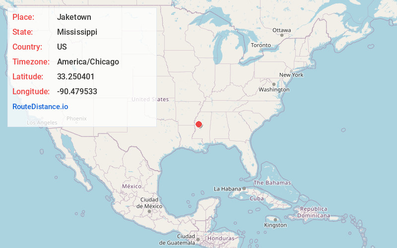
Full AddressJaketown, MS 39038
-
Coordinates33.2504009, -90.4795331
-
LocationMississippi , US
-
TimezoneAmerica/Chicago
-
Current Local Time2:16:31 PM America/ChicagoFriday, May 30, 2025
-
Page Views0
Nearby Places
Found 10 places within 50 miles

Four Mile
2.6 mi
4.2 km
Four Mile, MS 39038
Get directions
Castleman
3.9 mi
6.3 km
Castleman, MS 39038
Get directions

Belzoni
4.6 mi
7.4 km
Belzoni, MS 39038
Get directions
Nichols
6.0 mi
9.7 km
Nichols, MS 38761
Get directions

Isola
6.6 mi
10.6 km
Isola, MS 38754
Get directions
Inverness
9.7 mi
15.6 km
Inverness, MS 38753
Get directions
Silver City
10.7 mi
17.2 km
Silver City, MS
Get directions
Old Dominion
11.3 mi
18.2 km
Old Dominion, MS 38761
Get directions

Morgan City
11.7 mi
18.8 km
Morgan City, MS
Get directions
Moorhead
13.9 mi
22.4 km
Moorhead, MS 38761
Get directions
Location Links
Local Weather
Weather Information
Coming soon!
Location Map
Static map view of Jaketown, Mississippi
Browse Places by Distance
Places within specific distances from Jaketown
Short Distances
Long Distances
Click any distance to see all places within that range from Jaketown. Distances shown in miles (1 mile ≈ 1.61 kilometers).