Distance to Belzoni, Mississippi

Calculating Your Route
Just a moment while we process your request...
Location Information
-
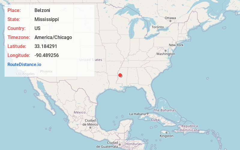
Full AddressBelzoni, MS 39038
-
Coordinates33.1842911, -90.4892562
-
LocationBelzoni , Mississippi , US
-
TimezoneAmerica/Chicago
-
Current Local Time12:33:29 AM America/ChicagoTuesday, June 3, 2025
-
Page Views0
About Belzoni
Belzoni is a city in Humphreys County, Mississippi, United States, in the Mississippi Delta region, on the Yazoo River. The population was 2,235 at the 2010 census. It is the county seat of Humphreys County. It was named for the 19th-century Italian archaeologist/explorer Giovanni Battista Belzoni.


Nearby Places
Found 10 places within 50 miles

Tchula
15.4 mi
24.8 km
Tchula, MS 39169
Get directions

Indianola
20.8 mi
33.5 km
Indianola, MS 38751
Get directions

Hollandale
21.1 mi
34.0 km
Hollandale, MS 38748
Get directions

Yazoo City
23.3 mi
37.5 km
Yazoo City, MS 39194
Get directions

Leland
28.1 mi
45.2 km
Leland, MS 38756
Get directions

Greenwood
29.1 mi
46.8 km
Greenwood, MS
Get directions

Rolling Fork
29.6 mi
47.6 km
Rolling Fork, MS 39159
Get directions

Greenville
35.0 mi
56.3 km
Greenville, MS
Get directions

Durant
37.5 mi
60.4 km
Durant, MS 39063
Get directions

Ruleville
37.6 mi
60.5 km
Ruleville, MS 38771
Get directions
Location Links
Local Weather
Weather Information
Coming soon!
Location Map
Static map view of Belzoni, Mississippi
Browse Places by Distance
Places within specific distances from Belzoni
Short Distances
Long Distances
Click any distance to see all places within that range from Belzoni. Distances shown in miles (1 mile ≈ 1.61 kilometers).