Distance to Rolling Fork, Mississippi

Calculating Your Route
Just a moment while we process your request...
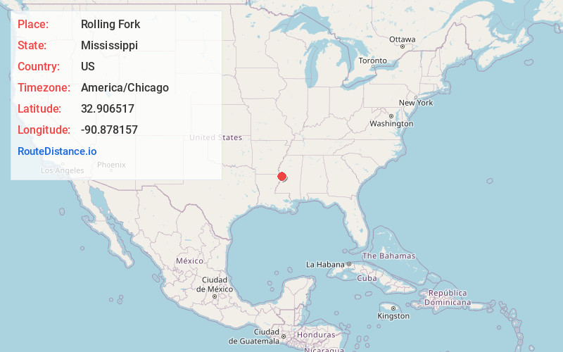
Location Information
-
Full AddressRolling Fork, MS 39159
-
Coordinates32.9065168, -90.8781567
-
LocationRolling Fork , Mississippi , US
-
TimezoneAmerica/Chicago
-
Current Local Time8:15:33 PM America/ChicagoSunday, June 22, 2025
-
Page Views0
About Rolling Fork
Rolling Fork is a city in and the county seat of Sharkey County, Mississippi, United States. As of the 2020 census, the population of the town was 1,883.

Nearby Places
Found 10 places within 50 miles

Hollandale
18.2 mi
29.3 km
Hollandale, MS 38748
Get directions

Lake Providence
18.4 mi
29.6 km
Lake Providence, LA 71254
Get directions

Eudora
26.3 mi
42.3 km
Eudora, AR 71640
Get directions

Yazoo City
27.6 mi
44.4 km
Yazoo City, MS 39194
Get directions

Leland
34.5 mi
55.5 km
Leland, MS 38756
Get directions

Greenville
35.3 mi
56.8 km
Greenville, MS
Get directions

Vicksburg
38.3 mi
61.6 km
Vicksburg, MS
Get directions

Tallulah
38.8 mi
62.4 km
Tallulah, LA 71282
Get directions

Indianola
39.8 mi
64.1 km
Indianola, MS 38751
Get directions
Beechwood
39.9 mi
64.2 km
Beechwood, MS 39180
Get directions
Location Links
Local Weather
Weather Information
Coming soon!
Location Map
Static map view of Rolling Fork, Mississippi
Browse Places by Distance
Places within specific distances from Rolling Fork
Short Distances
Long Distances
Click any distance to see all places within that range from Rolling Fork. Distances shown in miles (1 mile ≈ 1.61 kilometers).