Distance to Jamaica Plain, Massachusetts

Calculating Your Route
Just a moment while we process your request...
Location Information
-
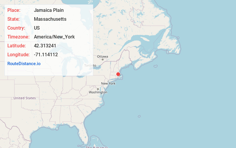
Full AddressJamaica Plain, Boston, MA
-
Coordinates42.3132414, -71.1141118
-
NeighborhoodJamaica Plain
-
LocationBoston , Massachusetts , US
-
TimezoneAmerica/New_York
-
Current Local Time1:41:25 PM America/New_YorkFriday, June 6, 2025
-
Page Views0
About Jamaica Plain
Jamaica Plain is a diverse, tight-knit neighborhood with serene Green spaces. Trails loop around Jamaica Pond and through the vast Arnold Arboretum of Harvard University, both links in the Emerald Necklace chain of parks. Family-owned restaurants, indie shops and snug bars dot Centre Street. Latin American eateries are clustered around Hyde Square. Forest Hills Cemetery, noted for its landscaping, dates from 1848.


Nearby Places
Found 10 places within 50 miles

Brookline
1.3 mi
2.1 km
Brookline, MA
Get directions

Washington Square
2.1 mi
3.4 km
Washington Square, Brookline, MA
Get directions

Beaconsfield
2.1 mi
3.4 km
Beaconsfield, Brookline, MA 02445
Get directions

Cambridge
3.7 mi
6.0 km
Cambridge, MA
Get directions
Milton Upper Mills
3.7 mi
6.0 km
Milton Upper Mills, Milton, MA 02186
Get directions

Old Harbor
3.9 mi
6.3 km
Old Harbor, Boston, MA
Get directions

Boston
4.1 mi
6.6 km
Boston, MA
Get directions

Harvard
4.2 mi
6.8 km
Harvard, Cambridge, MA 02138
Get directions
Forbes Wharf
4.2 mi
6.8 km
Forbes Wharf, Milton, MA 02186
Get directions
Riverdale
4.3 mi
6.9 km
Riverdale, Dedham, MA 02026
Get directions
Location Links
Local Weather
Weather Information
Coming soon!
Location Map
Static map view of Jamaica Plain, Massachusetts
Browse Places by Distance
Places within specific distances from Jamaica Plain
Short Distances
Long Distances
Click any distance to see all places within that range from Jamaica Plain. Distances shown in miles (1 mile ≈ 1.61 kilometers).