Distance to Jamaica, Vermont

Calculating Your Route
Just a moment while we process your request...
Location Information
-
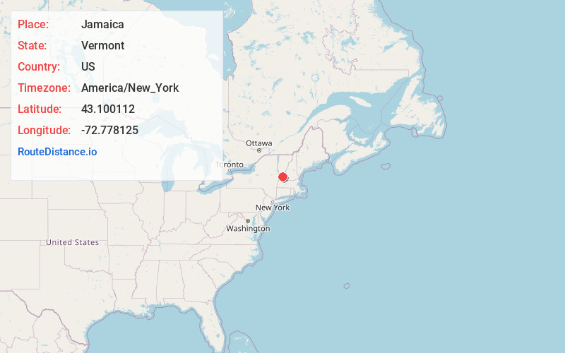
Full AddressJamaica, VT
-
Coordinates43.1001116, -72.7781251
-
LocationJamaica , Vermont , US
-
TimezoneAmerica/New_York
-
Current Local Time2:06:02 PM America/New_YorkSunday, June 1, 2025
-
Page Views0
About Jamaica
Jamaica is a town in Windham County, Vermont, United States. The population was 1,005 at the 2020 census. The town includes the villages of Jamaica, East Jamaica and Rawsonville.
Its ZIP code is 05343.


Nearby Places
Found 10 places within 50 miles

Townshend
6.7 mi
10.8 km
Townshend, VT
Get directions

Londonderry
8.8 mi
14.2 km
Londonderry, VT
Get directions

Newfane
10.0 mi
16.1 km
Newfane, VT
Get directions

Dover
11.0 mi
17.7 km
Dover, VT
Get directions

Dummerston
14.5 mi
23.3 km
Dummerston, VT
Get directions

Chester
14.5 mi
23.3 km
Chester, VT 05143
Get directions

Manchester
15.5 mi
24.9 km
Manchester, VT
Get directions

Putney
15.6 mi
25.1 km
Putney, VT 05346
Get directions

Town of Rockingham
15.8 mi
25.4 km
Town of Rockingham, VT
Get directions

Westminster
16.3 mi
26.2 km
Westminster, VT
Get directions
Location Links
Local Weather
Weather Information
Coming soon!
Location Map
Static map view of Jamaica, Vermont
Browse Places by Distance
Places within specific distances from Jamaica
Short Distances
Long Distances
Click any distance to see all places within that range from Jamaica. Distances shown in miles (1 mile ≈ 1.61 kilometers).