Distance to Londonderry, Vermont

Calculating Your Route
Just a moment while we process your request...
Location Information
-
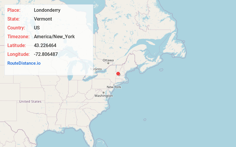
Full AddressLondonderry, VT
-
Coordinates43.2264643, -72.8064866
-
LocationLondonderry , Vermont , US
-
TimezoneAmerica/New_York
-
Current Local Time9:15:11 AM America/New_YorkSunday, June 15, 2025
-
Page Views0
About Londonderry
Londonderry is a town in Windham County, Vermont, United States. It is bounded on the north by Landgrove and Weston, on the east by Windham, on the south by Jamaica and on the west by Winhall and Landgrove. The population was 1,919 in the 2020 census.


Nearby Places
Found 10 places within 50 miles

Chester
10.9 mi
17.5 km
Chester, VT 05143
Get directions

Ludlow
12.9 mi
20.8 km
Ludlow, VT
Get directions

Manchester
14.1 mi
22.7 km
Manchester, VT
Get directions

Town of Rockingham
16.2 mi
26.1 km
Town of Rockingham, VT
Get directions

Springfield
17.1 mi
27.5 km
Springfield, VT
Get directions

Wallingford
19.0 mi
30.6 km
Wallingford, VT
Get directions

Charlestown
19.3 mi
31.1 km
Charlestown, NH 03603
Get directions

Arlington
20.4 mi
32.8 km
Arlington, VT 05250
Get directions

Westminster
20.7 mi
33.3 km
Westminster, VT
Get directions

Walpole
21.7 mi
34.9 km
Walpole, NH
Get directions
Location Links
Local Weather
Weather Information
Coming soon!
Location Map
Static map view of Londonderry, Vermont
Browse Places by Distance
Places within specific distances from Londonderry
Short Distances
Long Distances
Click any distance to see all places within that range from Londonderry. Distances shown in miles (1 mile ≈ 1.61 kilometers).