Distance to Wallingford, Vermont

Calculating Your Route
Just a moment while we process your request...
Location Information
-
Full AddressWallingford, VT
-
Coordinates43.4717467, -72.9773692
-
LocationWallingford , Vermont , US
-
TimezoneAmerica/New_York
-
Current Local Time5:12:51 PM America/New_YorkWednesday, June 18, 2025
-
Page Views0
About Wallingford
Wallingford is a town in Rutland County, Vermont, United States. The population was 2,129 at the 2020 census. Wallingford also contains the villages of East Wallingford and South Wallingford.


Nearby Places
Found 10 places within 50 miles

Clarendon
6.5 mi
10.5 km
Clarendon, VT
Get directions

Rutland
9.6 mi
15.4 km
Rutland, VT 05701
Get directions

Poultney
13.3 mi
21.4 km
Poultney, VT
Get directions

Granville
14.8 mi
23.8 km
Granville, NY 12832
Get directions

Castleton
14.9 mi
24.0 km
Castleton, VT
Get directions

Pittsford
16.4 mi
26.4 km
Pittsford, VT
Get directions

Fair Haven
16.8 mi
27.0 km
Fair Haven, VT 05743
Get directions

Manchester
21.8 mi
35.1 km
Manchester, VT
Get directions

Whitehall
22.1 mi
35.6 km
Whitehall, NY
Get directions

Chester
24.0 mi
38.6 km
Chester, VT 05143
Get directions
Location Links
Local Weather
Weather Information
Coming soon!
Location Map
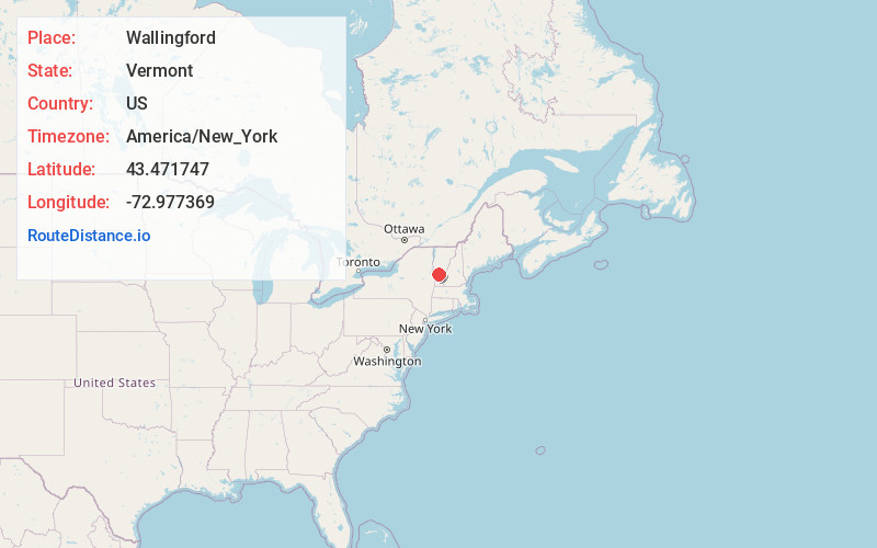
Static map view of Wallingford, Vermont
Browse Places by Distance
Places within specific distances from Wallingford
Short Distances
Long Distances
Click any distance to see all places within that range from Wallingford. Distances shown in miles (1 mile ≈ 1.61 kilometers).