Distance to Walpole, New Hampshire

Calculating Your Route
Just a moment while we process your request...
Location Information
-
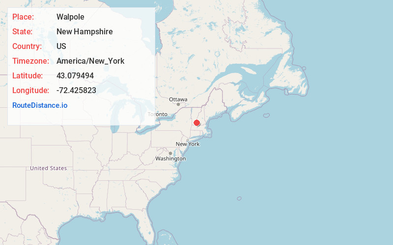
Full AddressWalpole, NH
-
Coordinates43.0794944, -72.4258229
-
LocationWalpole , New Hampshire , US
-
TimezoneAmerica/New_York
-
Current Local Time7:13:08 PM America/New_YorkSaturday, June 14, 2025
-
Page Views0
About Walpole
Walpole is a town in Cheshire County, New Hampshire, United States. The population was 3,633 at the 2020 census.
The town's central village, where 573 people resided at the 2020 census, is defined as the Walpole census-designated place and is east of New Hampshire Route 12.


Nearby Places
Found 10 places within 50 miles

Town of Rockingham
8.1 mi
13.0 km
Town of Rockingham, VT
Get directions

Charlestown
10.4 mi
16.7 km
Charlestown, NH 03603
Get directions

Keene
12.5 mi
20.1 km
Keene, NH
Get directions

Springfield
15.4 mi
24.8 km
Springfield, VT
Get directions

Swanzey
16.0 mi
25.7 km
Swanzey, NH
Get directions

Hinsdale
20.5 mi
33.0 km
Hinsdale, NH
Get directions

Claremont
20.7 mi
33.3 km
Claremont, NH
Get directions

Winchester
21.3 mi
34.3 km
Winchester, NH
Get directions

Newport
23.5 mi
37.8 km
Newport, NH 03773
Get directions

Hillsborough
26.9 mi
43.3 km
Hillsborough, NH
Get directions
Location Links
Local Weather
Weather Information
Coming soon!
Location Map
Static map view of Walpole, New Hampshire
Browse Places by Distance
Places within specific distances from Walpole
Short Distances
Long Distances
Click any distance to see all places within that range from Walpole. Distances shown in miles (1 mile ≈ 1.61 kilometers).