Distance to Hinsdale, New Hampshire

Calculating Your Route
Just a moment while we process your request...
Location Information
-
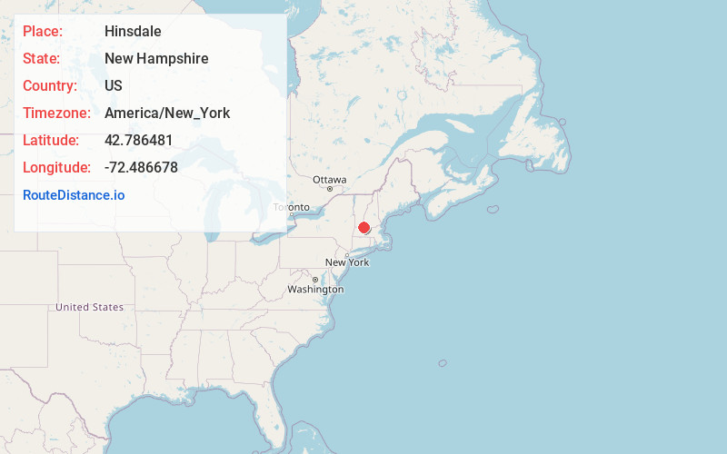
Full AddressHinsdale, NH
-
Coordinates42.7864809, -72.4866775
-
LocationHinsdale , New Hampshire , US
-
TimezoneAmerica/New_York
-
Current Local Time2:37:29 AM America/New_YorkSunday, June 15, 2025
-
Website
-
Page Views0
About Hinsdale
Hinsdale is a town in Cheshire County, New Hampshire, United States. The population was 3,948 at the 2020 census. Hinsdale is home to part of Pisgah State Park in the northeast, and part of Wantastiquet Mountain State Forest in the northwest.


Nearby Places
Found 10 places within 50 miles

Winchester
5.3 mi
8.5 km
Winchester, NH
Get directions

Swanzey
12.1 mi
19.5 km
Swanzey, NH
Get directions

Keene
14.7 mi
23.7 km
Keene, NH
Get directions

Orange
16.4 mi
26.4 km
Orange, MA 01364
Get directions

Montague
17.5 mi
28.2 km
Montague, MA
Get directions

Deerfield
17.8 mi
28.6 km
Deerfield, MA
Get directions

Athol
18.6 mi
29.9 km
Athol, MA
Get directions

Winchendon
23.5 mi
37.8 km
Winchendon, MA
Get directions

Jaffrey
23.6 mi
38.0 km
Jaffrey, NH 03452
Get directions

Rindge
24.3 mi
39.1 km
Rindge, NH 03461
Get directions
Location Links
Local Weather
Weather Information
Coming soon!
Location Map
Static map view of Hinsdale, New Hampshire
Browse Places by Distance
Places within specific distances from Hinsdale
Short Distances
Long Distances
Click any distance to see all places within that range from Hinsdale. Distances shown in miles (1 mile ≈ 1.61 kilometers).