Distance to Orange, Massachusetts

Calculating Your Route
Just a moment while we process your request...
Location Information
-
Full AddressOrange, MA 01364
-
Coordinates42.5886201, -72.3095564
-
LocationOrange , Massachusetts , US
-
TimezoneAmerica/New_York
-
Current Local Time4:25:01 AM America/New_YorkWednesday, June 4, 2025
-
Page Views0
About Orange
Orange is a town in Franklin County, Massachusetts, United States. The population was 7,569 at the 2020 census. It is part of the Springfield, Massachusetts Metropolitan Statistical Area.
Part of the town is included in the census-designated place of Orange.


Nearby Places
Found 10 places within 50 miles

Athol
4.2 mi
6.8 km
Athol, MA
Get directions

Montague
12.1 mi
19.5 km
Montague, MA
Get directions

Templeton
12.5 mi
20.1 km
Templeton, MA
Get directions

Winchendon
15.1 mi
24.3 km
Winchendon, MA
Get directions

Gardner
15.9 mi
25.6 km
Gardner, MA
Get directions

Westminster
20.5 mi
33.0 km
Westminster, MA
Get directions

Belchertown
21.9 mi
35.2 km
Belchertown, MA 01007
Get directions

Ware
22.9 mi
36.9 km
Ware, MA 01082
Get directions

Rutland
23.9 mi
38.5 km
Rutland, MA
Get directions

Keene
23.9 mi
38.5 km
Keene, NH
Get directions
Location Links
Local Weather
Weather Information
Coming soon!
Location Map
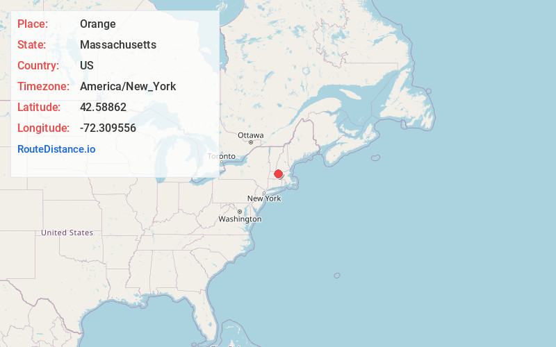
Static map view of Orange, Massachusetts
Browse Places by Distance
Places within specific distances from Orange
Short Distances
Long Distances
Click any distance to see all places within that range from Orange. Distances shown in miles (1 mile ≈ 1.61 kilometers).