Distance to Charlestown, New Hampshire

Calculating Your Route
Just a moment while we process your request...
Location Information
-
Full AddressCharlestown, NH 03603
-
Coordinates43.2304139, -72.4232399
-
LocationCharlestown , New Hampshire , US
-
TimezoneAmerica/New_York
-
Current Local Time11:59:13 AM America/New_YorkWednesday, June 18, 2025
-
Website
-
Page Views0
About Charlestown
Charlestown is a town in Sullivan County, New Hampshire, United States. The population was 4,806 at the 2020 census, down from 5,114 at the 2010 census. The town is home to Hubbard State Forest and the headquarters of the Student Conservation Association.


Nearby Places
Found 10 places within 50 miles

Town of Rockingham
4.4 mi
7.1 km
Town of Rockingham, VT
Get directions

Springfield
5.6 mi
9.0 km
Springfield, VT
Get directions

Claremont
10.7 mi
17.2 km
Claremont, NH
Get directions

Newport
15.6 mi
25.1 km
Newport, NH 03773
Get directions

Keene
21.8 mi
35.1 km
Keene, NH
Get directions

Swanzey
25.7 mi
41.4 km
Swanzey, NH
Get directions

Hillsborough
27.8 mi
44.7 km
Hillsborough, NH
Get directions

Lebanon
29.7 mi
47.8 km
Lebanon, NH
Get directions

Hartford
30.1 mi
48.4 km
Hartford, VT
Get directions

Henniker
30.5 mi
49.1 km
Henniker, NH
Get directions
Location Links
Local Weather
Weather Information
Coming soon!
Location Map
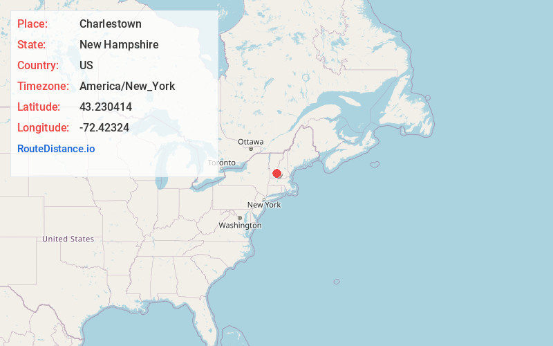
Static map view of Charlestown, New Hampshire
Browse Places by Distance
Places within specific distances from Charlestown
Short Distances
Long Distances
Click any distance to see all places within that range from Charlestown. Distances shown in miles (1 mile ≈ 1.61 kilometers).