Distance to Jamestown, North Carolina

Calculating Your Route
Just a moment while we process your request...
Location Information
-
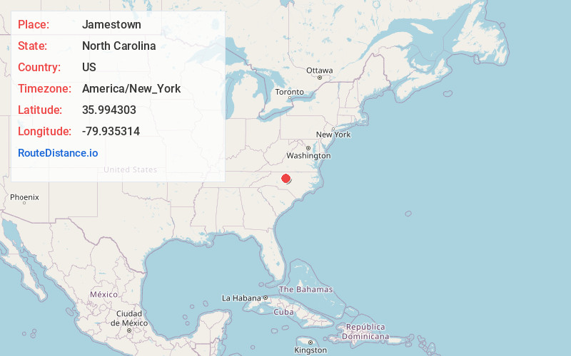
Full AddressJamestown, NC
-
Coordinates35.9943032, -79.9353141
-
LocationJamestown , North Carolina , US
-
TimezoneAmerica/New_York
-
Current Local Time10:22:44 PM America/New_YorkTuesday, June 17, 2025
-
Website
-
Page Views0
About Jamestown
Jamestown is a town in Guilford County, North Carolina, United States. It is a suburb of the nearby cities of Greensboro and High Point. The population was 3,382 at the 2010 census.


Nearby Places
Found 10 places within 50 miles

High Point
4.7 mi
7.6 km
High Point, NC
Get directions

Archdale
5.9 mi
9.5 km
Archdale, NC
Get directions

Trinity
7.6 mi
12.2 km
Trinity, NC
Get directions

Greensboro
9.7 mi
15.6 km
Greensboro, NC
Get directions

Pleasant Garden
9.9 mi
15.9 km
Pleasant Garden, NC
Get directions

Thomasville
11.3 mi
18.2 km
Thomasville, NC 27360
Get directions

Kernersville
11.6 mi
18.7 km
Kernersville, NC
Get directions

Oak Ridge
12.7 mi
20.4 km
Oak Ridge, NC
Get directions

Randleman
14.3 mi
23.0 km
Randleman, NC 27317
Get directions

Summerfield
14.9 mi
24.0 km
Summerfield, NC
Get directions
Location Links
Local Weather
Weather Information
Coming soon!
Location Map
Static map view of Jamestown, North Carolina
Browse Places by Distance
Places within specific distances from Jamestown
Short Distances
Long Distances
Click any distance to see all places within that range from Jamestown. Distances shown in miles (1 mile ≈ 1.61 kilometers).