Distance to Jamestown, Kansas

Calculating Your Route
Just a moment while we process your request...
Location Information
-
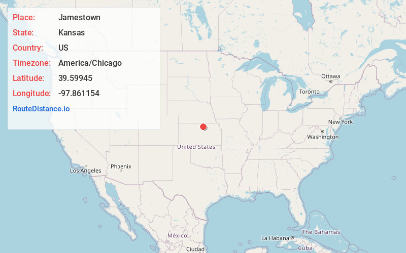
Full AddressJamestown, KS 66948
-
Coordinates39.5994495, -97.8611542
-
LocationJamestown , Kansas , US
-
TimezoneAmerica/Chicago
-
Current Local Time11:58:24 PM America/ChicagoSaturday, June 21, 2025
-
Page Views0
About Jamestown
Jamestown is a city in Cloud County, Kansas, United States. As of the 2020 census, the population of the city was 237.
Nearby Places
Found 10 places within 50 miles

Randall
10.2 mi
16.4 km
Randall, KS 66963
Get directions

Concordia
10.8 mi
17.4 km
Concordia, KS 66901
Get directions
Scandia
14.1 mi
22.7 km
Scandia, KS 66966
Get directions
Jewell
16.3 mi
26.2 km
Jewell, KS 66949
Get directions

Beloit
16.4 mi
26.4 km
Beloit, KS 67420
Get directions
Glasco
16.8 mi
27.0 km
Glasco, KS 67445
Get directions

Belleville
19.7 mi
31.7 km
Belleville, KS 66935
Get directions
Mankato
22.6 mi
36.4 km
Mankato, KS 66956
Get directions
Delphos
23.0 mi
37.0 km
Delphos, KS 67436
Get directions
Clyde
24.6 mi
39.6 km
Clyde, KS 66938
Get directions
Location Links
Local Weather
Weather Information
Coming soon!
Location Map
Static map view of Jamestown, Kansas
Browse Places by Distance
Places within specific distances from Jamestown
Short Distances
Long Distances
Click any distance to see all places within that range from Jamestown. Distances shown in miles (1 mile ≈ 1.61 kilometers).