Distance to Jarrell, Texas

Calculating Your Route
Just a moment while we process your request...
Location Information
-
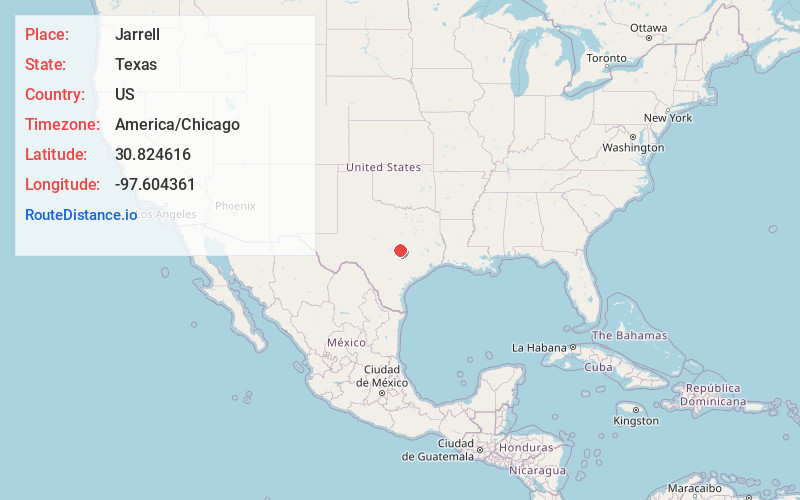
Full AddressJarrell, TX
-
Coordinates30.824616, -97.6043608
-
LocationJarrell , Texas , US
-
TimezoneAmerica/Chicago
-
Current Local Time5:12:10 AM America/ChicagoSunday, June 1, 2025
-
Page Views0
About Jarrell
Jarrell is a city in Williamson County, Texas, United States. The total population is 1,753 according to the 2020 census.


Nearby Places
Found 10 places within 50 miles

Salado
9.3 mi
15.0 km
Salado, TX 76571
Get directions

Georgetown
13.9 mi
22.4 km
Georgetown, TX
Get directions

Nolanville
17.6 mi
28.3 km
Nolanville, TX
Get directions

Belton
18.0 mi
29.0 km
Belton, TX
Get directions

Harker Heights
18.2 mi
29.3 km
Harker Heights, TX
Get directions

Hutto
19.8 mi
31.9 km
Hutto, TX 78634
Get directions

Taylor
21.0 mi
33.8 km
Taylor, TX
Get directions

Killeen
21.9 mi
35.2 km
Killeen, TX
Get directions

Liberty Hill
21.9 mi
35.2 km
Liberty Hill, TX
Get directions

Round Rock
22.3 mi
35.9 km
Round Rock, TX
Get directions
Location Links
Local Weather
Weather Information
Coming soon!
Location Map
Static map view of Jarrell, Texas
Browse Places by Distance
Places within specific distances from Jarrell
Short Distances
Long Distances
Click any distance to see all places within that range from Jarrell. Distances shown in miles (1 mile ≈ 1.61 kilometers).