Distance to Jason, North Carolina

Calculating Your Route
Just a moment while we process your request...
Location Information
-
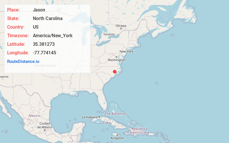
Full AddressJason, NC 28551
-
Coordinates35.3812729, -77.7741448
-
LocationJason , North Carolina , US
-
TimezoneAmerica/New_York
-
Current Local Time12:47:17 AM America/New_YorkWednesday, June 18, 2025
-
Page Views0
About Jason
Jason is a small unincorporated community in eastern North Carolina, United States, in Greene County. Incorporated in 1885, Jason is an agricultural based community with town water system and volunteer fire service. Jason is located roughly halfway between Snow Hill and LaGrange on Highway 903.
Nearby Places
Found 10 places within 50 miles

La Grange
5.2 mi
8.4 km
La Grange, NC 28551
Get directions

Snow Hill
7.1 mi
11.4 km
Snow Hill, NC 28580
Get directions

Walnut Creek
7.2 mi
11.6 km
Walnut Creek, NC
Get directions
Elroy
8.0 mi
12.9 km
Elroy, NC
Get directions
Glenfield Crossroads
8.9 mi
14.3 km
Glenfield Crossroads, NC 28580
Get directions
Faro
9.8 mi
15.8 km
Faro, NC 27883
Get directions
Hookerton
10.9 mi
17.5 km
Hookerton, NC
Get directions

Seven Springs
11.4 mi
18.3 km
Seven Springs, NC
Get directions

Goldsboro
12.4 mi
20.0 km
Goldsboro, NC
Get directions

Eureka
12.5 mi
20.1 km
Eureka, NC 27830
Get directions
Location Links
Local Weather
Weather Information
Coming soon!
Location Map
Static map view of Jason, North Carolina
Browse Places by Distance
Places within specific distances from Jason
Short Distances
Long Distances
Click any distance to see all places within that range from Jason. Distances shown in miles (1 mile ≈ 1.61 kilometers).