Distance to Jayhawk, California

Calculating Your Route
Just a moment while we process your request...
Location Information
-
Full AddressJayhawk, CA 95672
-
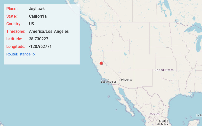
Coordinates38.7302266, -120.962771
-
NeighborhoodJayhawk
-
LocationJayhawk , California , US
-
TimezoneAmerica/Los_Angeles
-
Current Local Time8:22:26 AM America/Los_AngelesWednesday, May 21, 2025
-
Page Views0
About Jayhawk
Jayhawk was a former settlement in El Dorado County, California. It was located 6.5 miles southwest of Coloma, at an elevation of 1161 feet.
A post office operated at Jay Hawk from 1860 to 1865.
Jayhawk was named for settlers from Missouri who established the town. By 1883 Jayhawk was defunct.
Nearby Places
Found 10 places within 50 miles

Cameron Park
4.4 mi
7.1 km
Cameron Park, CA
Get directions

Shingle Springs
4.5 mi
7.2 km
Shingle Springs, CA 95682
Get directions

Gold Hill
4.7 mi
7.6 km
Gold Hill, CA 95667
Get directions

Coloma
6.2 mi
10.0 km
Coloma, CA
Get directions

South Fork American River
6.2 mi
10.0 km
South Fork American River, California
Get directions

El Dorado Hills
7.1 mi
11.4 km
El Dorado Hills, CA
Get directions

Pilot Hill
7.7 mi
12.4 km
Pilot Hill, CA 95664
Get directions

Northern California
8.2 mi
13.2 km
Northern California, CA
Get directions

Diamond Springs
8.3 mi
13.4 km
Diamond Springs, CA
Get directions

Bullard
8.4 mi
13.5 km
Bullard, CA 95682
Get directions
Location Links
Local Weather
Weather Information
Coming soon!
Location Map
Static map view of Jayhawk, California
Browse Places by Distance
Places within specific distances from Jayhawk
Short Distances
Long Distances
Click any distance to see all places within that range from Jayhawk. Distances shown in miles (1 mile ≈ 1.61 kilometers).