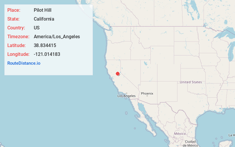
Distance to Pilot Hill, California

Calculating Your Route
Just a moment while we process your request...
Location Information
-
Full AddressPilot Hill, CA 95664
-
Coordinates38.8344149, -121.0141825
-
LocationPilot Hill , California , US
-
TimezoneAmerica/Los_Angeles
-
Current Local Time12:22:33 PM America/Los_AngelesSunday, June 15, 2025
-
Page Views0
About Pilot Hill
Pilot Hill is an unincorporated community in El Dorado County, California. It is located 13 miles west-northwest of Placerville, at an elevation of 1175 feet.
In 1849, mining commenced at Pilot Hill.


Nearby Places
Found 10 places within 50 miles

Auburn Lake Trails
4.0 mi
6.4 km
Auburn Lake Trails, CA 95614
Get directions

Auburn
5.5 mi
8.9 km
Auburn, CA
Get directions

Northern California
6.4 mi
10.3 km
Northern California, CA
Get directions

Greenwood
7.0 mi
11.3 km
Greenwood, CA 95635
Get directions

Newcastle
7.0 mi
11.3 km
Newcastle, CA 95658
Get directions

Ophir
7.1 mi
11.4 km
Ophir, CA 95603
Get directions

Coloma
7.1 mi
11.4 km
Coloma, CA
Get directions

North Auburn
7.5 mi
12.1 km
North Auburn, CA
Get directions

Bowman
7.6 mi
12.2 km
Bowman, CA 95603
Get directions

South Fork American River
7.7 mi
12.4 km
South Fork American River, California
Get directions
Location Links
Local Weather
Weather Information
Coming soon!
Location Map
Static map view of Pilot Hill, California
Browse Places by Distance
Places within specific distances from Pilot Hill
Short Distances
Long Distances
Click any distance to see all places within that range from Pilot Hill. Distances shown in miles (1 mile ≈ 1.61 kilometers).