Distance to Greenwood, California

Calculating Your Route
Just a moment while we process your request...
Location Information
-
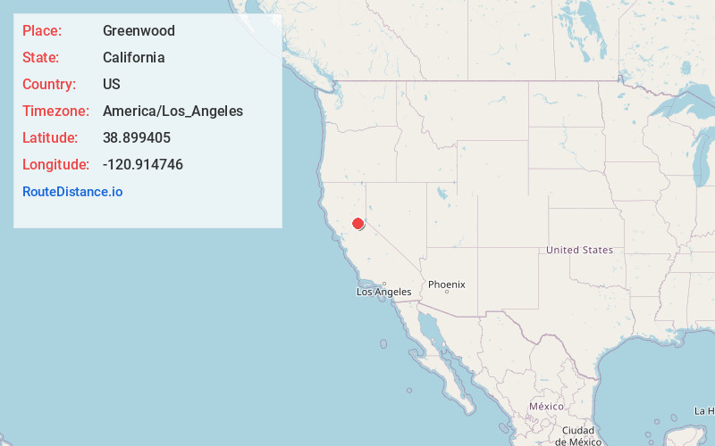
Full AddressGreenwood, CA 95635
-
Coordinates38.8994054, -120.9147455
-
LocationGreenwood , California , US
-
TimezoneAmerica/Los_Angeles
-
Current Local Time8:26:27 AM America/Los_AngelesSunday, June 1, 2025
-
Page Views0
About Greenwood
Greenwood is an unincorporated community in El Dorado County, California. It is located 4 miles west of Georgetown, at an elevation of 1608 feet.
The place was originally called Long Valley, then Green Valley, then Lewisville, and finally Greenwood, in honor of John Greenwood who set up a trading post there in 1848.


Nearby Places
Found 10 places within 50 miles

Georgetown
4.1 mi
6.6 km
Georgetown, CA
Get directions

Garden Valley
4.3 mi
6.9 km
Garden Valley, CA 95633
Get directions

Northern California
4.4 mi
7.1 km
Northern California, CA
Get directions

Auburn Lake Trails
4.7 mi
7.6 km
Auburn Lake Trails, CA 95614
Get directions

Coloma
7.0 mi
11.3 km
Coloma, CA
Get directions

Bowman
7.7 mi
12.4 km
Bowman, CA 95603
Get directions

Kelsey
8.6 mi
13.8 km
Kelsey, CA 95667
Get directions

Auburn
8.7 mi
14.0 km
Auburn, CA
Get directions

Volcanoville
8.8 mi
14.2 km
Volcanoville, CA 95634
Get directions

Meadow Vista
9.1 mi
14.6 km
Meadow Vista, CA
Get directions
Location Links
Local Weather
Weather Information
Coming soon!
Location Map
Static map view of Greenwood, California
Browse Places by Distance
Places within specific distances from Greenwood
Short Distances
Long Distances
Click any distance to see all places within that range from Greenwood. Distances shown in miles (1 mile ≈ 1.61 kilometers).